Transport Functions
Road
Multimodal
Hub Profile
Place type
Populated place
Region
England
Time zone
Europe/London
Elevation
95 m
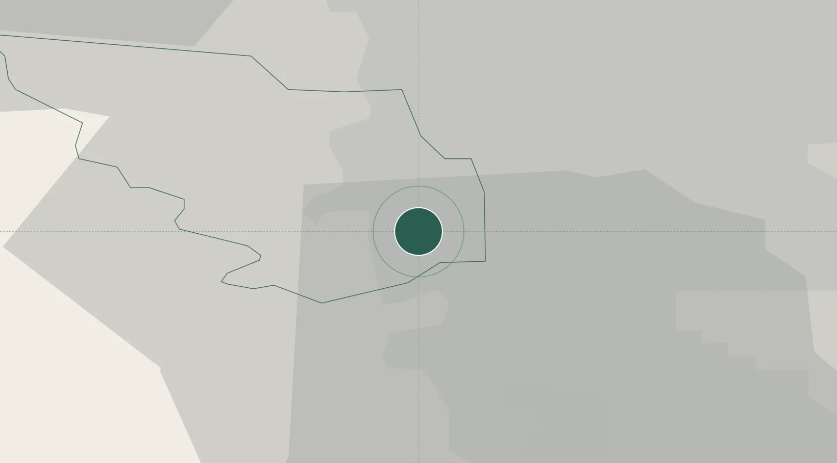
Location
Nearby Logistics Neighbours
Cities
- 1Scarcliffe1 km
- 2Darnall4 km
- 3Attercliffe6 km
- 4Loxley6 km
- 5Sheffield6 km
Ports
- 1Manchester56 km
- 2Goole56 km
- 3Howdendyke57 km
- 4New Holland82 km
- 5Immingham89 km
Airports
- 1Nottingham City Airport54 km
- 2Manchester Airport55 km
- 3Leeds East Airport57 km
- 4East Midlands Airport58 km
- 5Leeds Bradford Airport59 km
DatabookThe Record of Consolidated Knowledge
United Kingdom beyond logistics?