Seaport · United Kingdom
LiverpoolGBLIV
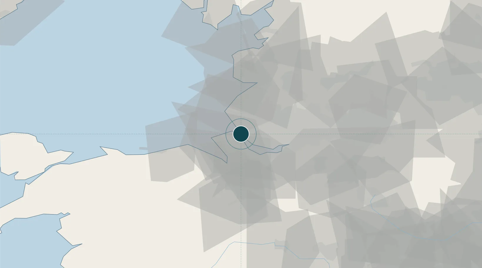
53.4167°, -3.0000°
6.4 m
Channel depth
2
Container terminals
160.4
Port liner connectivity
Channel & Berth Profile
Pilotage, Tugs & Services
Pilotage compulsoryYES
Pilotage availableYES
Pilotage advisableYES
Tug assistanceYES
Salvage tugsYES
Shore powerYES
Potable waterYES
Diesel bunkersYES
MedicalYES
Garbage disposalYES
Facilities & Capabilities
Container—
Ro-Ro—
Liquid bulk—
Dry bulk—
Oil terminal—
Break bulk—
Dry dockNO
RepairsNO
BunkeringYES
Rail linkYES
Dangerous cargo—
ISPS security—
Harbour Specifications
Harbour size
Large
Harbour type
River (Tide Gates)
Shelter
Excellent
Water body
Irish Sea; North Atlantic Ocean
Tidal range
6 m
Overhead limit
Yes
Pilotage
Yes
Liner Connectivity
160.4
PLSCI
Port Liner Shipping Connectivity Index for Liverpool, as published by UNCTAD for the latest available quarter. Higher values indicate stronger scheduled liner-shipping integration.
Shown relative to the highest per-port PLSCI in the dataset (1,657.9).
Location
Container Terminals · 2
LIVERPOOL2 CONTAINER TERMINAL
L2CT PEEL PORTS GROUP
ROYAL SEAFORTH CONTAINER TERMINAL (RSCT)
RSCT MERSEY DOCKS & HARBOUR COMPANY LTD.
Nearby Logistics Neighbours
Ports
- 1Garlston10 km
- 2Mostyn21 km
- 3Liverpool Bay Terminal39 km
- 4Manchester49 km
- 5Fleetwood56 km
Cities
- 1Bootle4 km
- 2Dingle5 km
- 3Rock Ferry6 km
- 4Seaforth6 km
- 5Tranmere6 km
Airports
- 1Liverpool John Lennon Airport14 km
- 2Hawarden Airport27 km
- 3Warton Aerodrome37 km
- 4Blackpool Airport40 km
- 5Manchester Airport48 km
Trade Zones
DatabookThe Record of Consolidated Knowledge
United Kingdom beyond logistics?