UN/LOCODE hub · United Kingdom
GBZCJ
New Mills
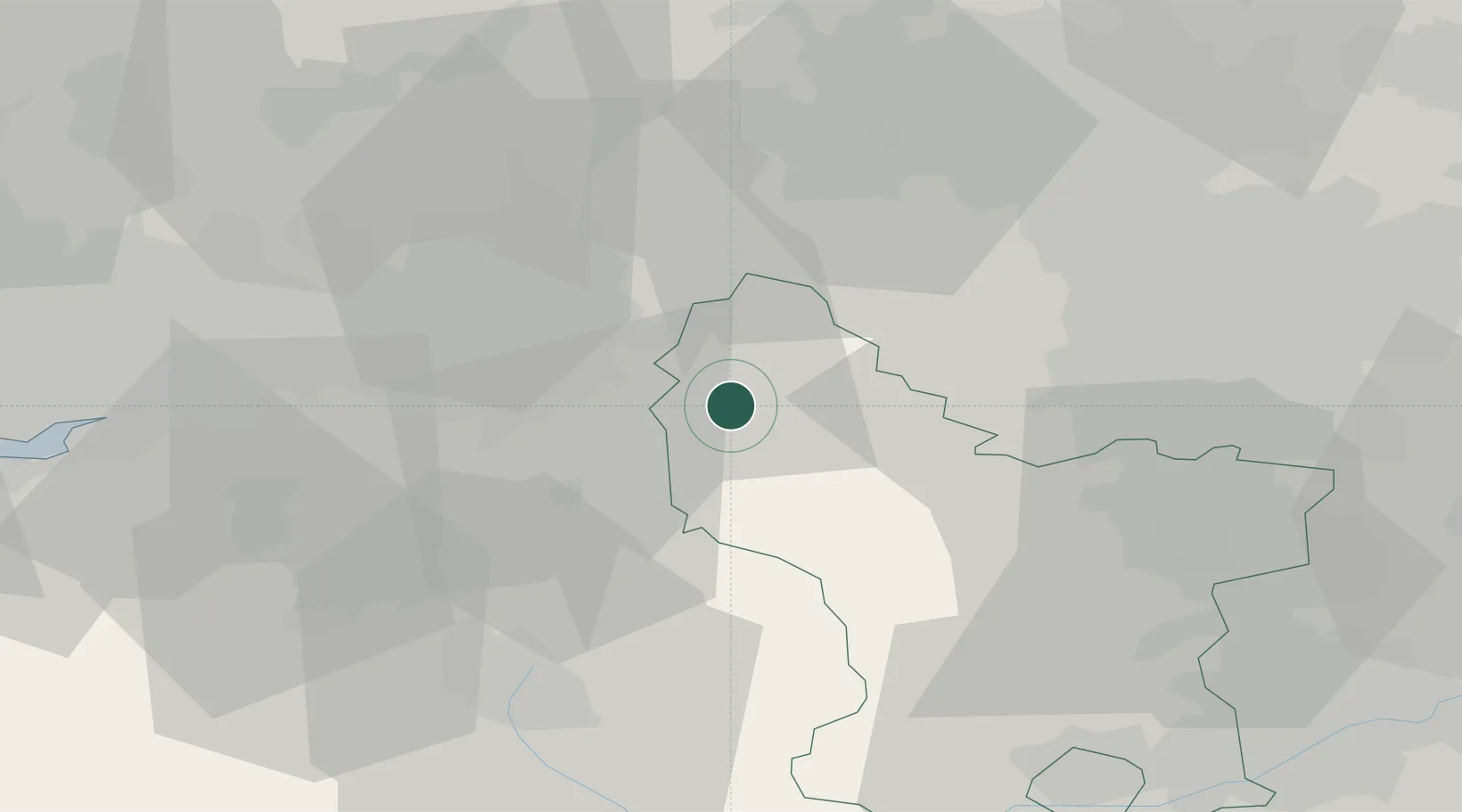
53.3667°, -1.9167°
17,968
Population
1
Transport functions
Transport Functions
Multimodal
Hub Profile
Place type
Populated place
Region
England
Population
17,968
Time zone
Europe/London
Elevation
156 m
Location
Nearby Logistics Neighbours
Cities
- 1Birch Vale3 km
- 2Hadfield10 km
- 3Marple11 km
- 4Pott Shrigley12 km
- 5Thornhill15 km
Ports
- 1Manchester27 km
- 2Garlston65 km
- 3Liverpool72 km
- 4Howdendyke80 km
- 5Goole81 km
Airports
- 1Manchester Airport24 km
- 2Leeds Bradford Airport58 km
- 3Liverpool John Lennon Airport62 km
- 4Leeds East Airport71 km
- 5East Midlands Airport71 km
DatabookThe Record of Consolidated Knowledge
United Kingdom beyond logistics?