UN/LOCODE hub · United Kingdom
GBPWL
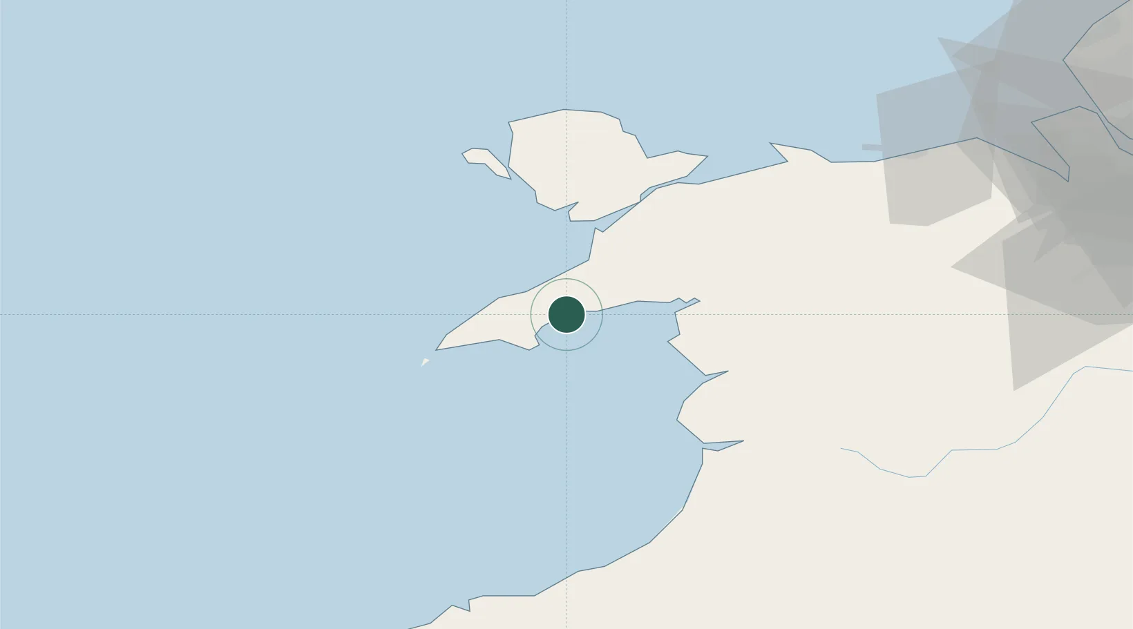
Pwllheli
52.8833°, -4.4167°
4,076
Population
3
Transport functions
Transport Functions
Port
Rail
Road
Hub Profile
Place type
District seat
Region
Wales
Population
4,076
Time zone
Europe/London
Elevation
7 m
Location
Nearby Logistics Neighbours
Cities
- 1Nefyn8 km
- 2Aber Sôch (Abersoch)9 km
- 3Morfa Nefyn10 km
- 4Tudweiliog12 km
- 5Criccieth13 km
Ports
- 1Caernarvon31 km
- 2Holyhead50 km
- 3Mostyn91 km
- 4Liverpool Bay Terminal93 km
- 5Fishguard104 km
Airports
- 1Anglesey Airport41 km
- 2Hawarden Airport102 km
- 3Liverpool John Lennon Airport116 km
- 4RAF Shawbury118 km
- 5Haverfordwest Airport123 km
Trade Zones
DatabookThe Record of Consolidated Knowledge
United Kingdom beyond logistics?