UN/LOCODE hub · United Kingdom
GBDOR

Ballydorn

54.4833°, -5.6333°
1
Transport functions

Transport Functions

Port
UN/LOCODE

Hub Profile

Region
DOW
GeoNames

Location

Location of GBDOR
Natural Earth 10m (public domain) · DOW · GBDOR · 54.48, -5.63GoogleOSMYandex

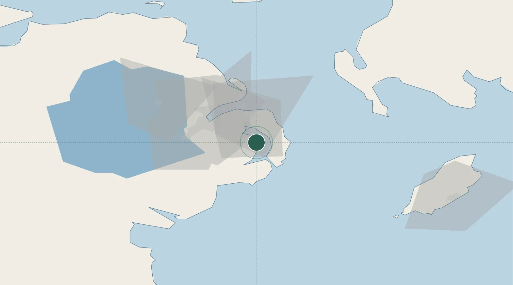
Nearby Logistics Neighbours

Cities
  1. 1Kircubbin7 km
  2. 2Crossgar10 km
  3. 3Ardkeen11 km
  4. 4Killyleagh11 km
  5. 5Ballywalter11 km
Nearest neighbours — logibook spatial index (haversine) over the source coordinates
Ports
  1. 1Bangor19 km
  2. 2Belfast23 km
  3. 3Ardglass24 km
  4. 4Kilroot28 km
  5. 5Larne42 km
Nearest neighbours — logibook spatial index (haversine) over the source coordinates
Airports
  1. 1George Best Belfast City Airport22 km
  2. 2Belfast International Airport42 km
  3. 3Isle of Man Airport79 km
  4. 4Campbeltown Airport106 km
  5. 5City of Derry Airport116 km
Nearest neighbours — logibook spatial index (haversine) over the source coordinates
Trade Zones
  1. 1Isle of Man Free Zone and Business Park79 km
  2. 2Prestwick Airport Free Zone131 km
  3. 3Dublin International Financial Services Centre132 km
  4. 4Carlisle Kingmoor Park Enterprise Zone179 km
  5. 5Blackpool Enterprise Zone187 km
Nearest neighbours — logibook spatial index (haversine) over the source coordinates
DatabookThe Record of Consolidated Knowledge
United Kingdom beyond logistics?
Browse databook

All Sources

LocationsUN/LOCODE
UN/LOCODE — free
Portsthe NGA World Port Index
Public domain (US gov)
AirportsOurAirports
Public domain
Trade Zonesthe World Bank SEZ database
CC BY 4.0
Trade ZonesOpen Zone Map
CC BY
← United Kingdom locations