UN/LOCODE hub · United Kingdom
GBSRI
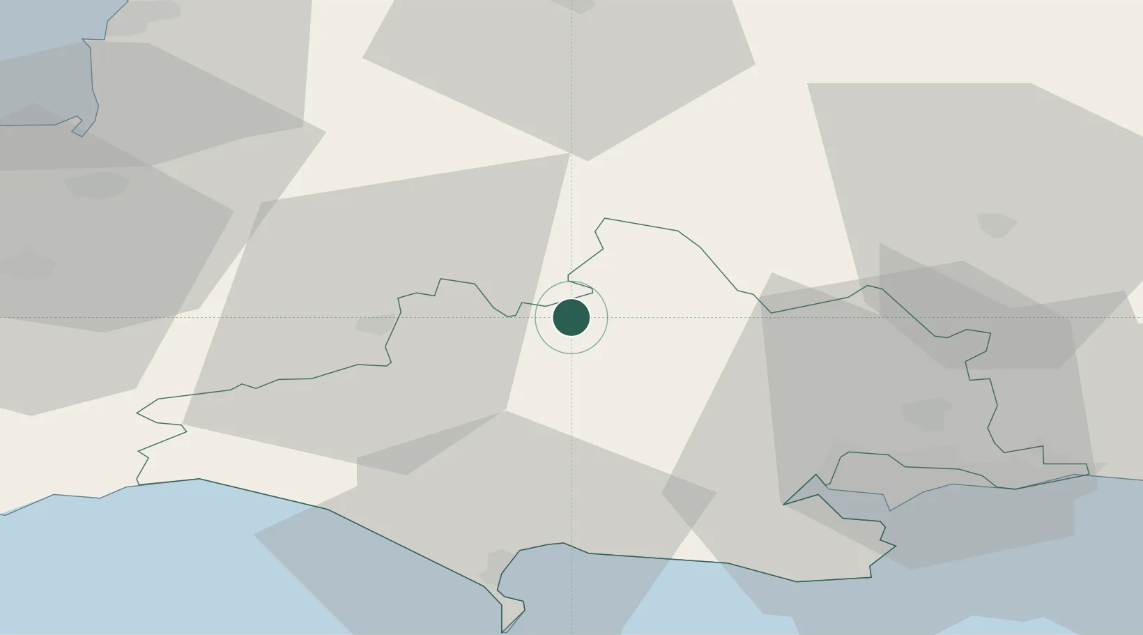
Stalbridge
50.9500°, -2.3667°
2,396
Population
2
Transport functions
Transport Functions
Port
Road
Hub Profile
Place type
Populated place
Region
England
Population
2,396
Time zone
Europe/London
Elevation
76 m
Location
Nearby Logistics Neighbours
Cities
- 1Semley18 km
- 2Tisbury24 km
- 3Cranmore27 km
- 4Morden27 km
- 5Broadmayne30 km
Ports
- 1Weymouth Harbour38 km
- 2Bridport Harbour38 km
- 3Portland Harbour41 km
- 4Poole Harbour42 km
- 5Bridgwater49 km
Airports
- 1RNAS Yeovilton20 km
- 2Bournemouth Airport42 km
- 3MoD Boscombe Down49 km
- 4Bristol Airport54 km
- 5Southampton Airport71 km
Trade Zones
DatabookThe Record of Consolidated Knowledge
United Kingdom beyond logistics?