UN/LOCODE hub · United Kingdom
GBSCP
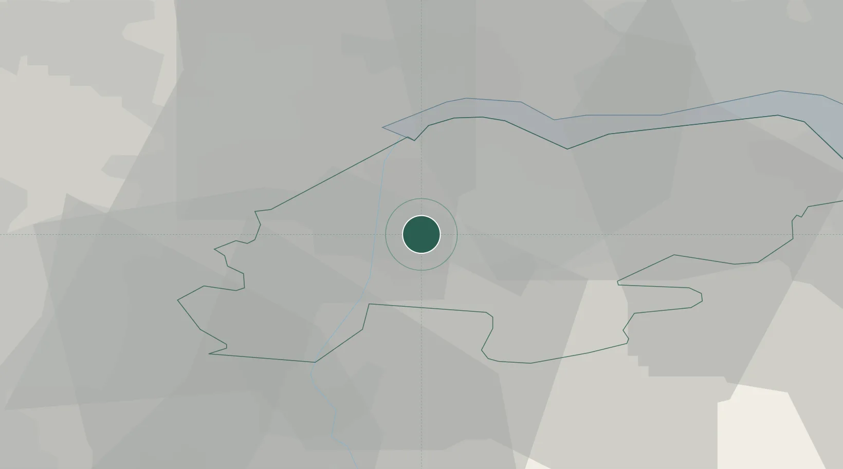
Scunthorpe
53.5876°, -0.6846°
81,576
Population
3
Transport functions
Transport Functions
Port
Rail
Road
Hub Profile
Place type
Provincial seat
Region
England
Population
81,576
Time zone
Europe/London
Elevation
46 m
Logistics facilities
2
Location
Nearby Logistics Neighbours
Cities
- 1Grove Port1 km
- 2Flixborough3 km
- 3Althorpe3 km
- 4Keadby4 km
- 5Pocklington5 km
Ports
- 1Goole16 km
- 2Howdendyke21 km
- 3New Holland24 km
- 4Kingston Upon Hull32 km
- 5Immingham32 km
Airports
- 1Humberside Airport22 km
- 2Leeds East Airport43 km
- 3RAF Waddington48 km
- 4RAF Cranwell64 km
- 5RAF Coningsby65 km
Trade Zones
DatabookThe Record of Consolidated Knowledge
United Kingdom beyond logistics?