Transport Functions
Port
Road
Hub Profile
Place type
Populated place
Region
England
Time zone
Europe/London
Elevation
7 m
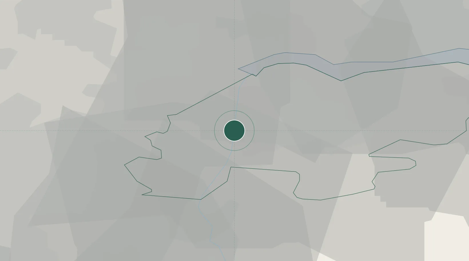
Location
Nearby Logistics Neighbours
Cities
- 1Keadby2 km
- 2Pocklington2 km
- 3Grove Port2 km
- 4Scunthorpe3 km
- 5Flixborough5 km
Ports
- 1Goole15 km
- 2Howdendyke19 km
- 3New Holland27 km
- 4Kingston Upon Hull35 km
- 5Immingham36 km
Airports
- 1Humberside Airport25 km
- 2Leeds East Airport41 km
- 3RAF Waddington48 km
- 4RAF Cranwell64 km
- 5RAF Coningsby66 km
Trade Zones
DatabookThe Record of Consolidated Knowledge
United Kingdom beyond logistics?