Transport Functions
Port
Hub Profile
Region
NTT
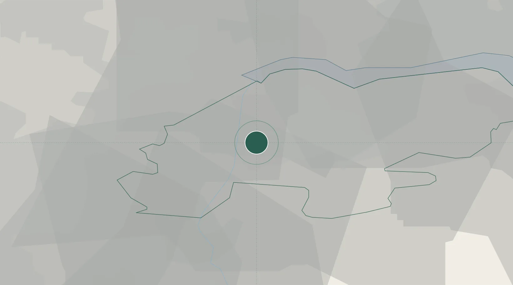
Location
Nearby Logistics Neighbours
Cities
- 1Scunthorpe1 km
- 2Althorpe2 km
- 3Keadby3 km
- 4Pocklington4 km
- 5Flixborough4 km
Ports
- 1Goole16 km
- 2Howdendyke21 km
- 3New Holland26 km
- 4Kingston Upon Hull33 km
- 5Immingham34 km
Airports
- 1Humberside Airport23 km
- 2Leeds East Airport43 km
- 3RAF Waddington48 km
- 4RAF Cranwell63 km
- 5RAF Coningsby65 km
Trade Zones
DatabookThe Record of Consolidated Knowledge
United Kingdom beyond logistics?