Transport Functions
Port
Road
Hub Profile
Region
IOW
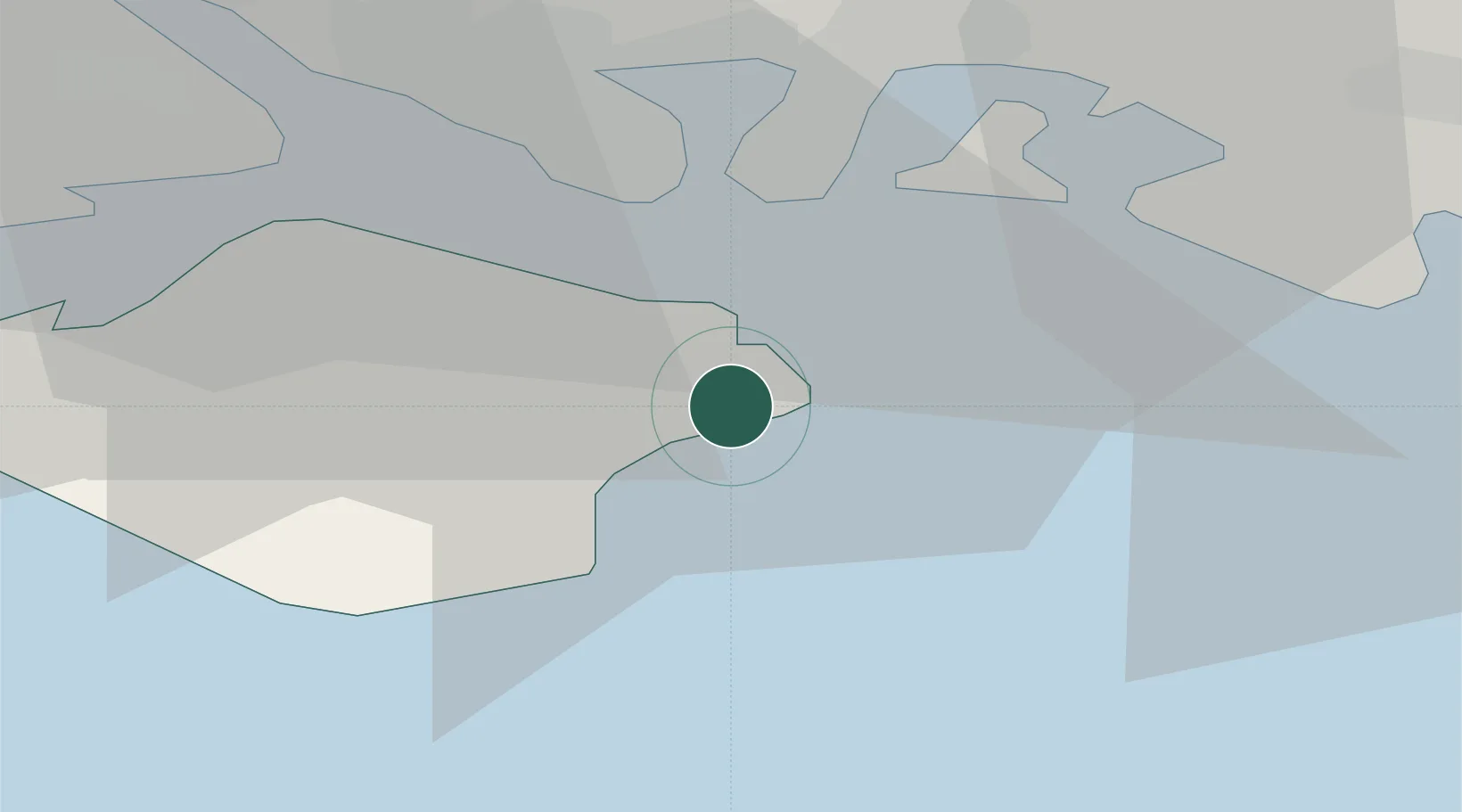
Location
Nearby Logistics Neighbours
Cities
- 1Bembridge1 km
- 2Sandown5 km
- 3Fishbourne7 km
- 4Ryde7 km
- 5Downend9 km
Ports
- 1Portsmouth Harbour13 km
- 2Cowes Harbour17 km
- 3Fawley Marine Terminal22 km
- 4Yarmouth Harbour28 km
- 5Southampton32 km
Airports
- 1Southampton Airport35 km
- 2Bournemouth Airport53 km
- 3Lasham Airfield56 km
- 4Brighton City Airport59 km
- 5RAF Odiham62 km
Trade Zones
DatabookThe Record of Consolidated Knowledge
United Kingdom beyond logistics?