Transport Functions
Port
Hub Profile
Place type
Populated place
Region
England
Population
1,213
Time zone
Europe/London
Elevation
35 m
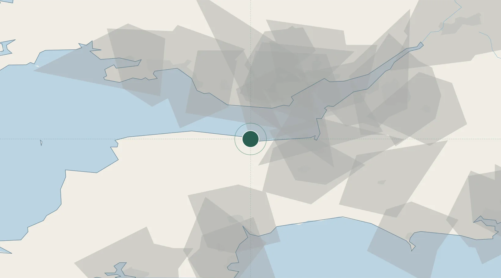
Location
Nearby Logistics Neighbours
Cities
- 1Minehead4 km
- 2Dunster4 km
- 3Williton7 km
- 4Luxborough10 km
- 5Winsford15 km
Ports
- 1Watchet Harbor6 km
- 2Barry25 km
- 3Bridgwater30 km
- 4Cardiff33 km
- 5Newport49 km
Airports
- 1Cardiff International Airport23 km
- 2MOD St Athan23 km
- 3Exeter International Airport52 km
- 4Royal Marines Base Chivenor53 km
- 5Bristol Airport53 km
Trade Zones
DatabookThe Record of Consolidated Knowledge
United Kingdom beyond logistics?