Transport Functions
Multimodal
Hub Profile
Place type
Populated place
Region
England
Time zone
Europe/London
Elevation
204 m
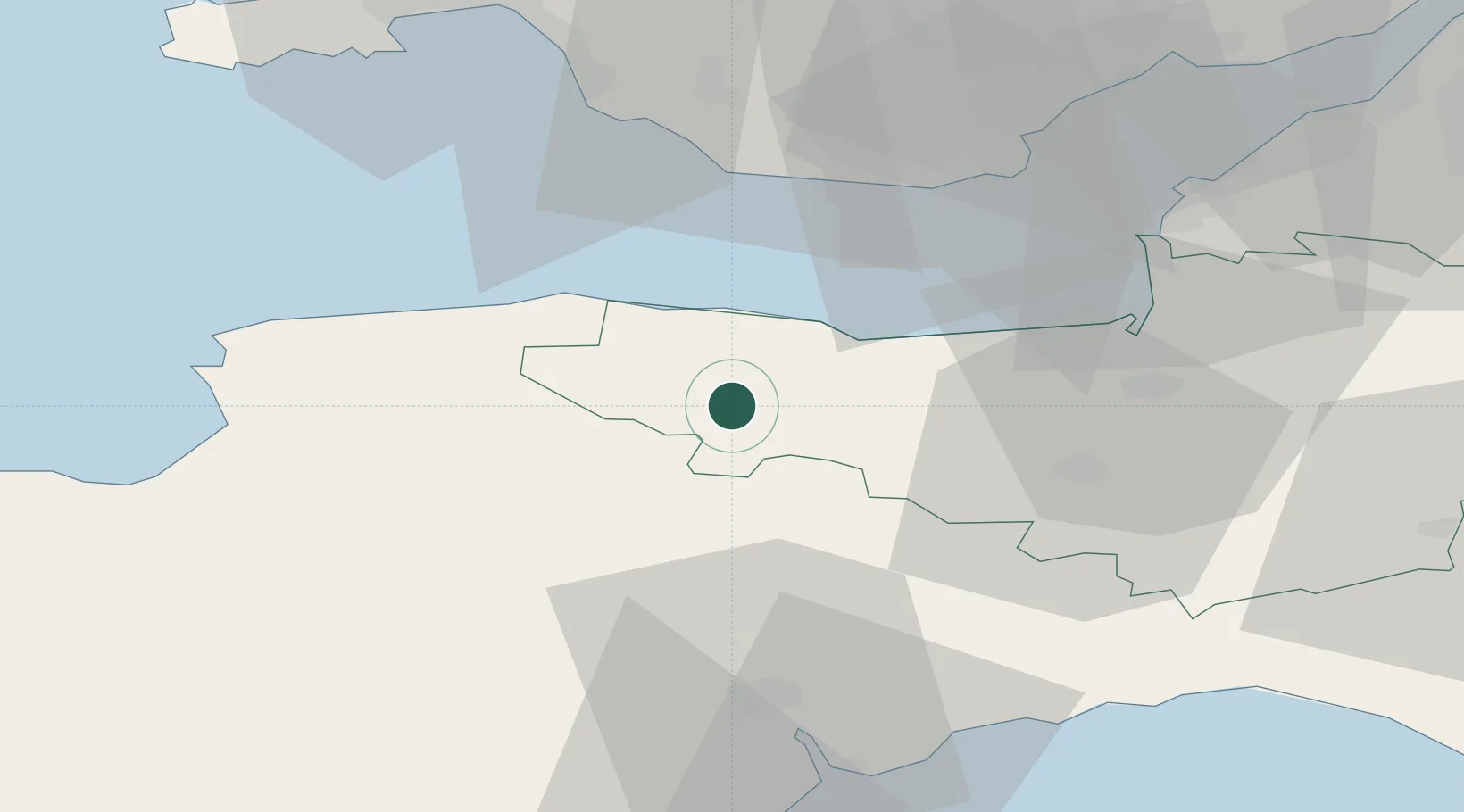
Location
Nearby Logistics Neighbours
Cities
- 1Luxborough6 km
- 2Dunster11 km
- 3Milverton12 km
- 4Minehead13 km
- 5Bampton14 km
Ports
- 1Watchet Harbor18 km
- 2Bridgwater39 km
- 3Barry39 km
- 4Bideford46 km
- 5Cardiff47 km
Airports
- 1MOD St Athan35 km
- 2Cardiff International Airport36 km
- 3Exeter International Airport42 km
- 4Royal Marines Base Chivenor42 km
- 5RNAS Yeovilton65 km
Trade Zones
DatabookThe Record of Consolidated Knowledge
United Kingdom beyond logistics?