Transport Functions
Port
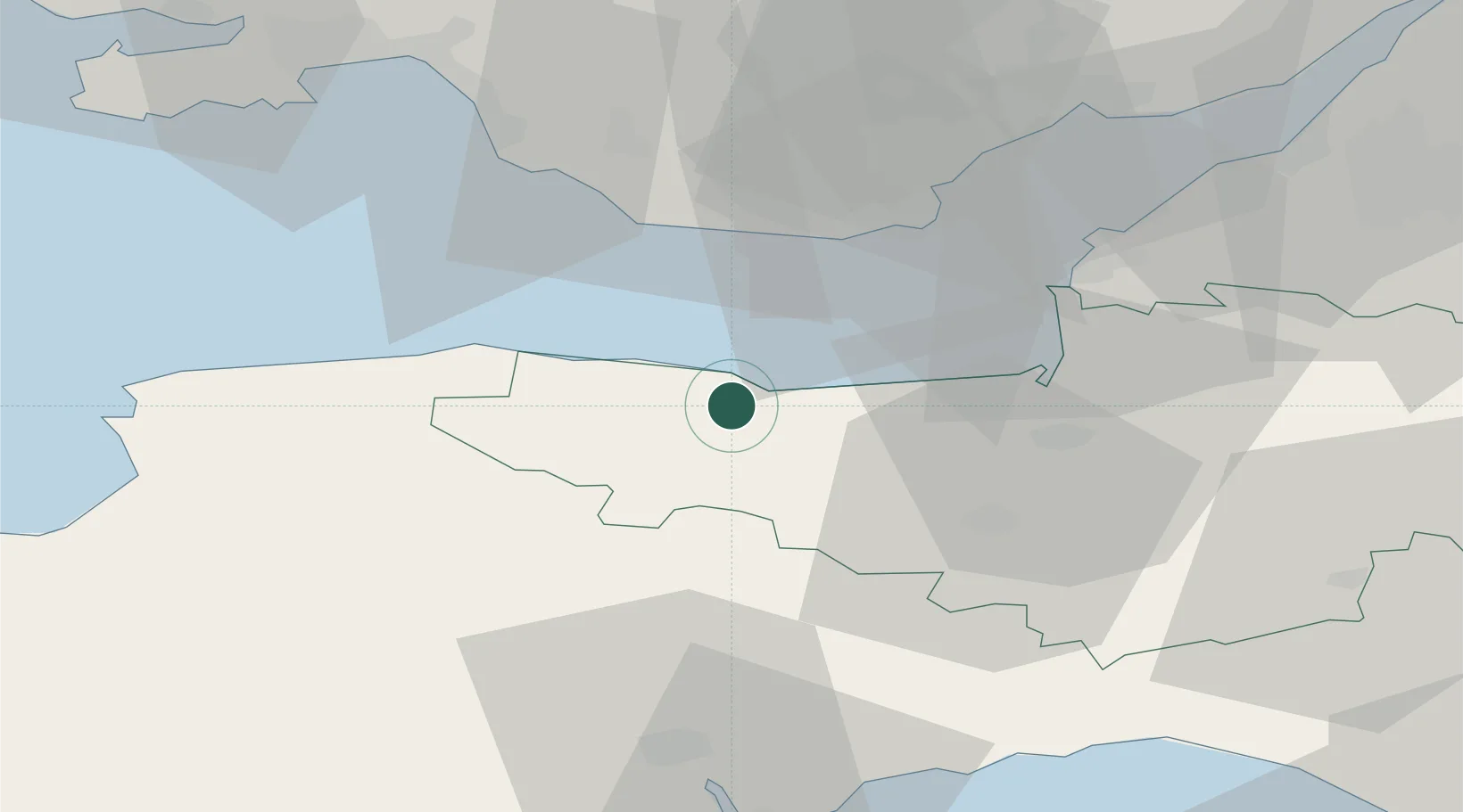
Hub Profile
Place type
Populated place
Region
England
Population
408
Time zone
Europe/London
Elevation
48 m
Location
Nearby Logistics Neighbours
Cities
- 1Porlock4 km
- 2Minehead4 km
- 3Luxborough6 km
- 4Williton7 km
- 5Winsford11 km
Ports
- 1Watchet Harbor7 km
- 2Barry28 km
- 3Bridgwater31 km
- 4Cardiff37 km
- 5Newport53 km
Airports
- 1Cardiff International Airport26 km
- 2MOD St Athan27 km
- 3Exeter International Airport48 km
- 4Royal Marines Base Chivenor51 km
- 5Bristol Airport55 km
Trade Zones
DatabookThe Record of Consolidated Knowledge
United Kingdom beyond logistics?