UN/LOCODE hub · United Kingdom
GBPAY

Paisley

50.8333°, -4.4333°
77,270
Population
1
Transport functions

Transport Functions

Multimodal
UN/LOCODE

Hub Profile

Place type
Provincial seat
GeoNames
Region
Scotland
GeoNames
Population
77,270
GeoNames
Time zone
Europe/London
GeoNames
Elevation
50 m
GeoNames

Location

Location of GBPAY
Natural Earth 10m (public domain) · Scotland · GBPAY · 50.83, -4.43GoogleOSMYandex

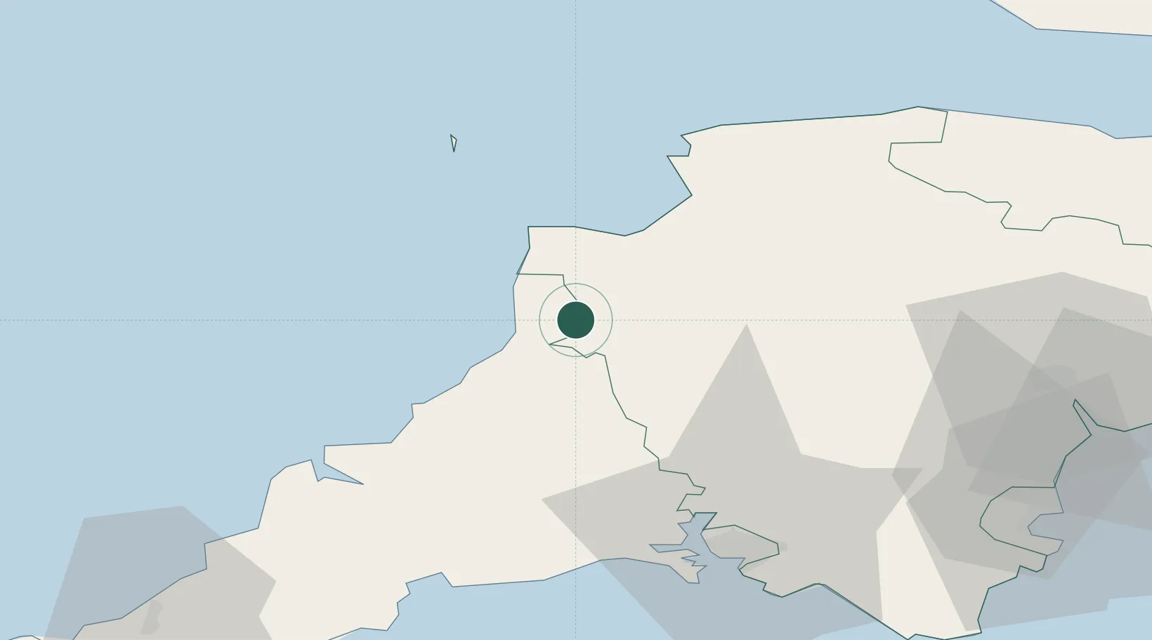
Nearby Logistics Neighbours

Cities
  1. 1Bude8 km
  2. 2Buck's Cross19 km
  3. 3Chillington19 km
  4. 4Clovelly19 km
  5. 5Taddiport23 km
Nearest neighbours — logibook spatial index (haversine) over the source coordinates
Ports
  1. 1Bideford28 km
  2. 2Padstow47 km
  3. 3Plymouth56 km
  4. 4Par57 km
  5. 5Fowey Harbour57 km
Nearest neighbours — logibook spatial index (haversine) over the source coordinates
Airports
  1. 1Hartland Point Heliport22 km
  2. 2Royal Marines Base Chivenor35 km
  3. 3Lundy Island Helipad40 km
  4. 4Cornwall Airport Newquay59 km
  5. 5Exeter International Airport73 km
Nearest neighbours — logibook spatial index (haversine) over the source coordinates
Trade Zones
  1. 1Heart of the South West Enterprise Zone54 km
  2. 2Oceansgate Plymouth54 km
  3. 3Cornwall Newquay Aerohub Enterprise Zone60 km
  4. 4Exeter & East Devon Enterprise Zone70 km
  5. 5Bristol Temple Quarter Enterprise Zone146 km
Nearest neighbours — logibook spatial index (haversine) over the source coordinates
DatabookThe Record of Consolidated Knowledge
United Kingdom beyond logistics?
Browse databook

All Sources

LocationsUN/LOCODE
UN/LOCODE — free
LocationsGeoNames
CC BY 4.0
Portsthe NGA World Port Index
Public domain (US gov)
AirportsOurAirports
Public domain
Trade Zonesthe World Bank SEZ database
CC BY 4.0
Trade ZonesOpen Zone Map
CC BY
← United Kingdom locations