Transport Functions
Port
Road
Hub Profile
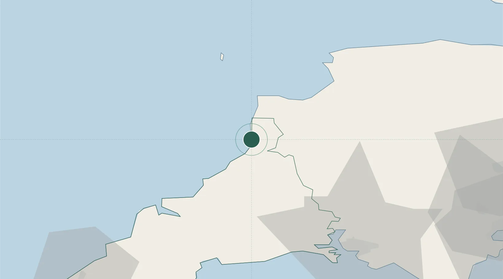
Place type
Populated place
Region
England
Population
7,011
Time zone
Europe/London
Elevation
10 m
Location
Nearby Logistics Neighbours
Cities
- 1Paisley8 km
- 2Boscastle20 km
- 3Buck's Cross21 km
- 4Chillington21 km
- 5Clovelly21 km
Ports
- 1Bideford33 km
- 2Padstow42 km
- 3Par55 km
- 4Fowey Harbour56 km
- 5Charlestown57 km
Airports
DatabookThe Record of Consolidated Knowledge
United Kingdom beyond logistics?