Transport Functions
Port
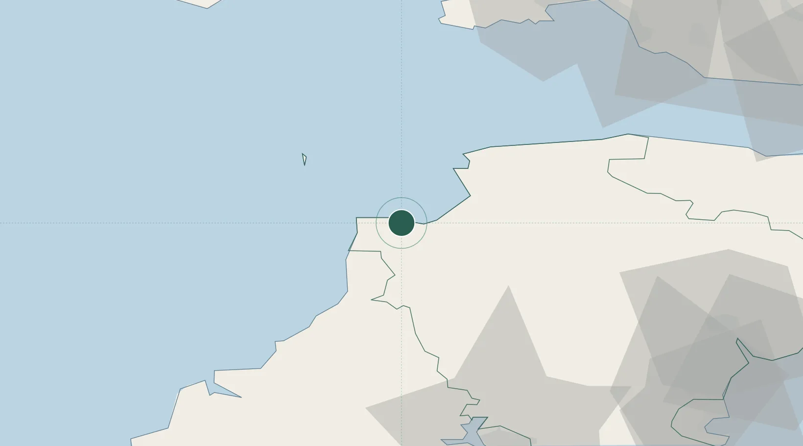
Hub Profile
Place type
Populated place
Region
England
Time zone
Europe/London
Elevation
193 m
Location
Nearby Logistics Neighbours
Cities
- 1Chillington0 km
- 2Clovelly0 km
- 3Bideford13 km
- 4Moretonhampstead13 km
- 5Appledore15 km
Airports
- 1Hartland Point Heliport9 km
- 2Royal Marines Base Chivenor20 km
- 3Lundy Island Helipad26 km
- 4Swansea Airport71 km
- 5Cornwall Airport Newquay75 km
DatabookThe Record of Consolidated Knowledge
United Kingdom beyond logistics?