UN/LOCODE hub · United Kingdom
GBMBE
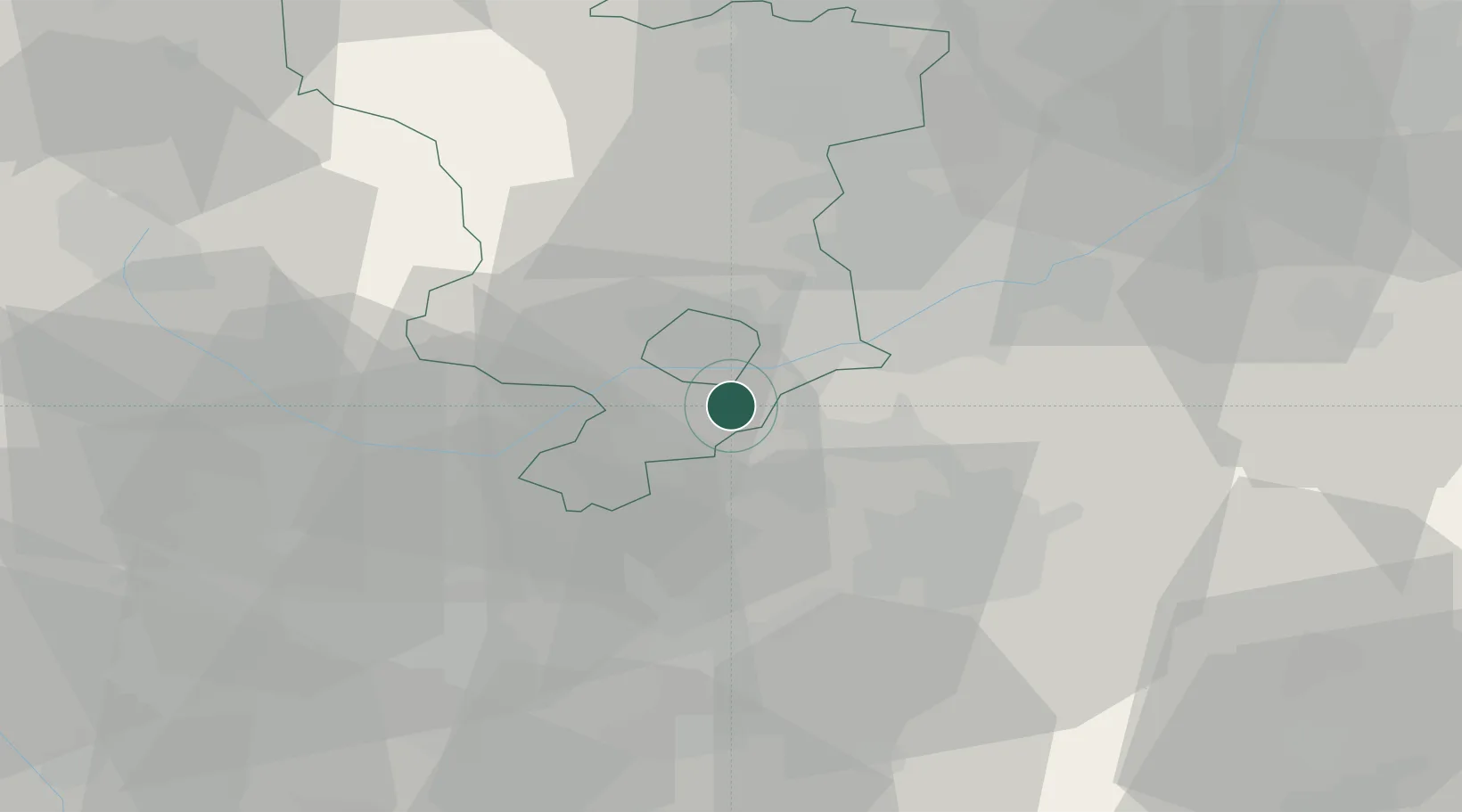
Melbourne
52.8167°, -1.4333°
4,404
Population
2
Transport functions
Transport Functions
Rail
Road
Hub Profile
Place type
Populated place
Region
England
Population
4,404
Time zone
Europe/London
Elevation
57 m
Location
Nearby Logistics Neighbours
Cities
- 1Barrow upon Trent4 km
- 2The Forties7 km
- 3Newton Solney10 km
- 4Kegworth10 km
- 5Normanton le Heath13 km
Ports
- 1Manchester93 km
- 2Boston97 km
- 3Goole106 km
- 4Wisbech108 km
- 5Howdendyke108 km
Airports
- 1East Midlands Airport7 km
- 2Nottingham City Airport26 km
- 3Birmingham Airport46 km
- 4Coventry Airport50 km
- 5RAF Barkston Heath61 km
DatabookThe Record of Consolidated Knowledge
United Kingdom beyond logistics?