Transport Functions
Rail
Road
Hub Profile
Region
LEC
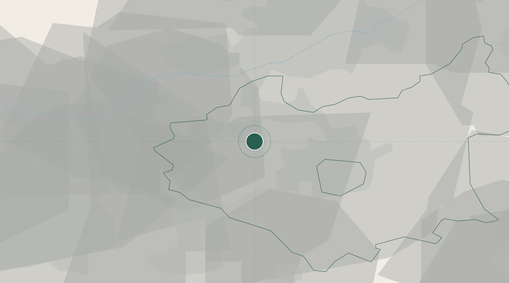
Location
Nearby Logistics Neighbours
Cities
- 1Ellistown2 km
- 2Markfield5 km
- 3Bagworth6 km
- 4Normanton le Heath7 km
- 5Leicester10 km
Ports
- 1Boston93 km
- 2Wisbech100 km
- 3Manchester107 km
- 4Goole116 km
- 5King's Lynn117 km
Airports
- 1East Midlands Airport15 km
- 2Nottingham City Airport30 km
- 3Coventry Airport38 km
- 4Birmingham Airport39 km
- 5RAF Wittering59 km
Trade Zones
DatabookThe Record of Consolidated Knowledge
United Kingdom beyond logistics?