UN/LOCODE hub · United Kingdom
GBTRO

Trefor

53.0000°, -4.4000°
1
Transport functions

Transport Functions

Port
UN/LOCODE

Hub Profile

Place type
Populated place
GeoNames
Region
Wales
GeoNames
Time zone
Europe/London
GeoNames
Elevation
53 m
GeoNames

Location

Location of GBTRO
Natural Earth 10m (public domain) · Wales · GBTRO · 53.00, -4.40GoogleOSMYandex

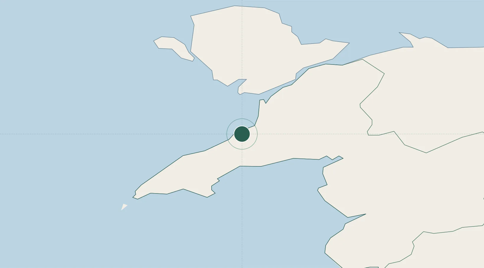
Nearby Logistics Neighbours

Cities
  1. 1Nefyn10 km
  2. 2Morfa Nefyn12 km
  3. 3Pwllheli13 km
  4. 4Criccieth15 km
  5. 5Tudweiliog17 km
Nearest neighbours — logibook spatial index (haversine) over the source coordinates
Ports
  1. 1Caernarvon19 km
  2. 2Holyhead39 km
  3. 3Liverpool Bay Terminal82 km
  4. 4Mostyn83 km
  5. 5Liverpool104 km
Nearest neighbours — logibook spatial index (haversine) over the source coordinates
Airports
  1. 1Anglesey Airport29 km
  2. 2Hawarden Airport97 km
  3. 3Liverpool John Lennon Airport110 km
  4. 4RAF Shawbury118 km
  5. 5Isle of Man Airport121 km
Nearest neighbours — logibook spatial index (haversine) over the source coordinates
Trade Zones
  1. 1Mersey Waters Enterprise Zone102 km
  2. 2Cheshire Science Corridor107 km
  3. 3Liverpool Free Zone115 km
  4. 4Isle of Man Free Zone and Business Park122 km
  5. 5Sci-Tech Daresbury Enterprise Zone123 km
Nearest neighbours — logibook spatial index (haversine) over the source coordinates
DatabookThe Record of Consolidated Knowledge
United Kingdom beyond logistics?
Browse databook

All Sources

LocationsUN/LOCODE
UN/LOCODE — free
Portsthe NGA World Port Index
Public domain (US gov)
AirportsOurAirports
Public domain
Trade Zonesthe World Bank SEZ database
CC BY 4.0
Trade ZonesOpen Zone Map
CC BY
← United Kingdom locations