Medium airport · United Kingdom
RAF ShawburyEGOS
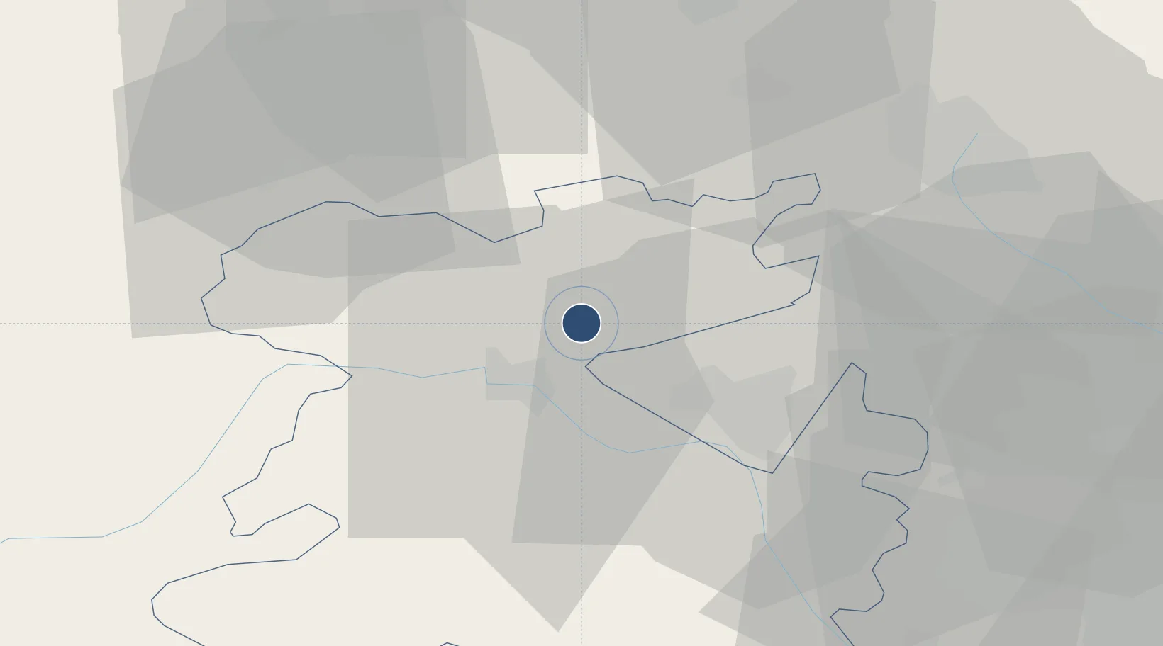
52.7982°, -2.6680°
6,018 ft
Longest runway
2
Runways
249 ft
Elevation
Runway & Layout

Radio Frequencies
ATIS
28.427 MHz
TWR
122.1 MHz
GND
38.945 MHz
APP
126.5 MHz
DIR
123.3 MHz
DIRECTOR
MISC
120.775 MHz
ZONE
OPS
36.912 MHz
Navaids
SWB VOR-DME Shawbury 116.80 MHz
Runways · 2
| Runway | Dimensions | Surface | True heading | Lit |
|---|---|---|---|---|
| 18/36 | 6,018 × 151ft | Asphalt | 180° | ✓ |
| 04/22 | 4,523 × 151ft | Asphalt | 045° | ✓ |
Airport Specifications
ICAO code
EGOS
Airport class
Medium airport
Scheduled service
No
Runway surface
Asphalt
Served city
Shrewsbury, Shropshire
Location
Nearby Logistics Neighbours
Airports
- 1RAF Cosford30 km
- 2Hawarden Airport47 km
- 3Liverpool John Lennon Airport61 km
- 4Manchester Airport67 km
- 5Birmingham Airport73 km
Cities
- 1Crudgington11 km
- 2Nechells15 km
- 3Rednal19 km
- 4Ditton Priors19 km
- 5Gretton20 km
Ports
- 1Garlston63 km
- 2Mostyn70 km
- 3Liverpool72 km
- 4Manchester81 km
- 5Liverpool Bay Terminal101 km
DatabookThe Record of Consolidated Knowledge
United Kingdom beyond logistics?