Medium airport · United Kingdom

Farnborough AirportEGLF
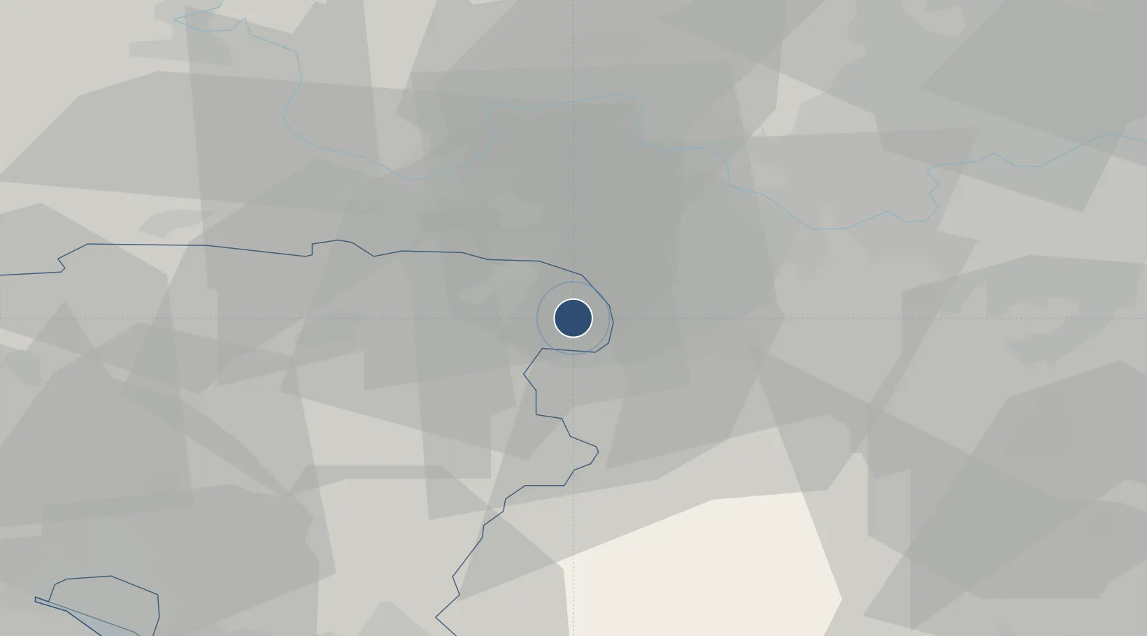
51.2758°, -0.7763°
8,005 ft
Longest runway
1
Runways
238 ft
Elevation

Runway & Layout

Farnborough Airport runway & taxiway layout
Runway & taxiway layout — OpenStreetMap (ODbL) / OurAirports

Radio Frequencies

ATIS
128.4 MHz
TWR
122.5 MHz
APP
134.35 MHz
DIR
130.05 MHz
DIRECTOR
LARS
123.225 MHz
Farnborough East Radar
LARS
125.25 MHz
Farnborough West Radar
LARS
132.8 MHz
Farnborough North Radar
MISC
121.6 MHz
Farnborough Fire
OPS
130.375 MHz
TAG Aviation
OurAirports

Runways · 1

RunwayDimensions SurfaceTrue headingLit
06/24 8,005 × 148ft Asphalt 062°
OurAirports

Airport Specifications

IATA code
FAB
OurAirports
ICAO code
EGLF
OurAirports
Airport class
Medium airport
OurAirports
Scheduled service
No
OurAirports
Runway surface
Asphalt
OurAirports
Served city
Farnborough, Hampshire
OurAirports

Location

Location of EGLF
Natural Earth 10m (public domain) · Hampshire · EGLF · 51.28, -0.78GoogleOSMYandex

Nearby Logistics Neighbours

Airports
  1. 1Blackbushe Airport7 km
  2. 2RAF Odiham13 km
  3. 3Lasham Airfield20 km
  4. 4London Heathrow Airport31 km
  5. 5RAF Northolt40 km
Nearest neighbours — logibook spatial index (haversine) over the source coordinates
Cities
  1. 1Frimley5 km
  2. 2Deepcut5 km
  3. 3Hook9 km
  4. 4Pirbright10 km
  5. 5Tilford10 km
Nearest neighbours — logibook spatial index (haversine) over the source coordinates
Ports
  1. 1London54 km
  2. 2Littlehampton Harbour57 km
  3. 3Portsmouth Harbour58 km
  4. 4Southampton60 km
  5. 5Shoreham Harbour63 km
Nearest neighbours — logibook spatial index (haversine) over the source coordinates
Trade Zones
  1. 1Thames Valley Business Growth Hub Berkshire16 km
  2. 2EZ³ Enterprise Zone42 km
  3. 3Solent Enterprise Zone53 km
  4. 4Science Vale Oxfordshire Enterprise Zone53 km
  5. 5London Royal Docks Enterprise Zone60 km
Nearest neighbours — logibook spatial index (haversine) over the source coordinates
DatabookThe Record of Consolidated Knowledge
United Kingdom beyond logistics?
Browse databook

All Sources

AirportsOurAirports
Public domain
Portsthe NGA World Port Index
Public domain (US gov)
LocationsUN/LOCODE
UN/LOCODE — free
Trade Zonesthe World Bank SEZ database
CC BY 4.0
Trade ZonesOpen Zone Map
CC BY
InfrastructureOpenStreetMap
ODbL 1.0
← United Kingdom airports