Transport Functions
Port
Multimodal
Hub Profile
Place type
Populated place
Region
England
Population
266
Time zone
Europe/London
Elevation
84 m
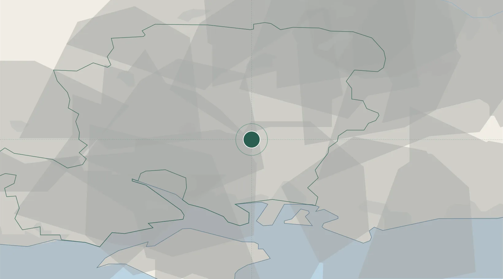
Location
Nearby Logistics Neighbours
Cities
- 1Ropley4 km
- 2Alresford6 km
- 3Droxford9 km
- 4Clanfield14 km
- 5Colden Common15 km
Ports
- 1Southampton25 km
- 2Portsmouth Harbour26 km
- 3Fawley Marine Terminal29 km
- 4Cowes Harbour32 km
- 5Yarmouth Harbour46 km
Airports
- 1Lasham Airfield18 km
- 2Southampton Airport19 km
- 3RAF Odiham25 km
- 4Farnborough Airport36 km
- 5Blackbushe Airport37 km
Trade Zones
DatabookThe Record of Consolidated Knowledge
United Kingdom beyond logistics?