UN/LOCODE hub · United Kingdom
GBCL7

Clanfield

50.9333°, -1.0000°
1
Transport functions

Transport Functions

Multimodal
UN/LOCODE

Hub Profile

Place type
Populated place
GeoNames
Region
England
GeoNames
Time zone
Europe/London
GeoNames
Elevation
116 m
GeoNames

Location

Location of GBCL7
Natural Earth 10m (public domain) · England · GBCL7 · 50.93, -1.00GoogleOSMYandex

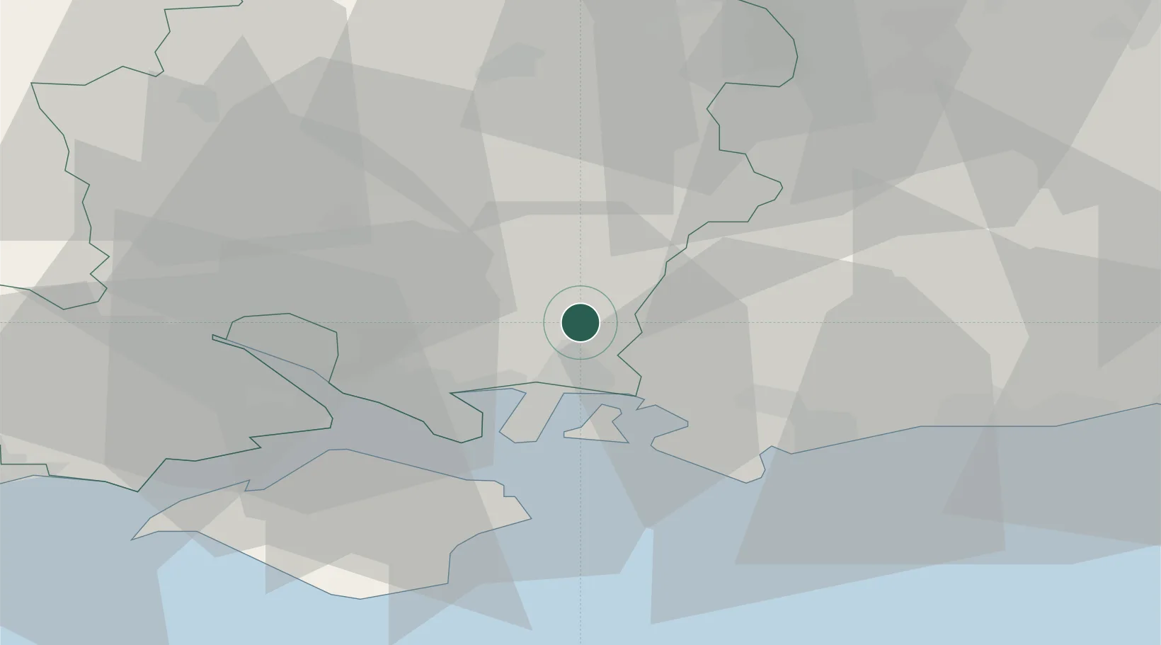
Nearby Logistics Neighbours

Cities
  1. 1Bedhampton9 km
  2. 2Droxford10 km
  3. 3Hayling Island11 km
  4. 4Langstone11 km
  5. 5Wickham13 km
Nearest neighbours — logibook spatial index (haversine) over the source coordinates
Ports
  1. 1Portsmouth Harbour16 km
  2. 2Fawley Marine Terminal27 km
  3. 3Cowes Harbour28 km
  4. 4Southampton28 km
  5. 5Littlehampton Harbour37 km
Nearest neighbours — logibook spatial index (haversine) over the source coordinates
Airports
  1. 1Southampton Airport25 km
  2. 2Lasham Airfield28 km
  3. 3RAF Odiham34 km
  4. 4Farnborough Airport41 km
  5. 5Blackbushe Airport45 km
Nearest neighbours — logibook spatial index (haversine) over the source coordinates
Trade Zones
  1. 1Solent Enterprise Zone12 km
  2. 2EZ³ Enterprise Zone30 km
  3. 3Southampton Free Zone31 km
  4. 4Thames Valley Business Growth Hub Berkshire56 km
  5. 5Science Vale Oxfordshire Enterprise Zone81 km
Nearest neighbours — logibook spatial index (haversine) over the source coordinates
DatabookThe Record of Consolidated Knowledge
United Kingdom beyond logistics?
Browse databook

All Sources

LocationsUN/LOCODE
UN/LOCODE — free
Portsthe NGA World Port Index
Public domain (US gov)
AirportsOurAirports
Public domain
Trade Zonesthe World Bank SEZ database
CC BY 4.0
Trade ZonesOpen Zone Map
CC BY
← United Kingdom locations