UN/LOCODE hub · United Kingdom
GBLLP
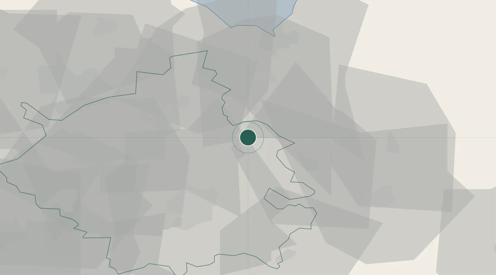
Littleport
52.4500°, 0.3000°
7,935
Population
2
Transport functions
Transport Functions
Road
Multimodal
Hub Profile
Place type
Populated place
Region
England
Population
7,935
Time zone
Europe/London
Elevation
7 m
Location
Nearby Logistics Neighbours
Cities
- 1Manea9 km
- 2Witchford10 km
- 3Longstanton15 km
- 4Stowbridge21 km
- 5Marshland Saint James23 km
Ports
- 1Wisbech26 km
- 2King's Lynn34 km
- 3Boston61 km
- 4Ipswich74 km
- 5Colchester76 km
Airports
- 1RAF Mildenhall16 km
- 2RAF Lakenheath18 km
- 3RAF Marham28 km
- 4Cambridge City Airport29 km
- 5RAF Honington34 km
Trade Zones
DatabookThe Record of Consolidated Knowledge
United Kingdom beyond logistics?