UN/LOCODE hub · United Kingdom
GBCPD
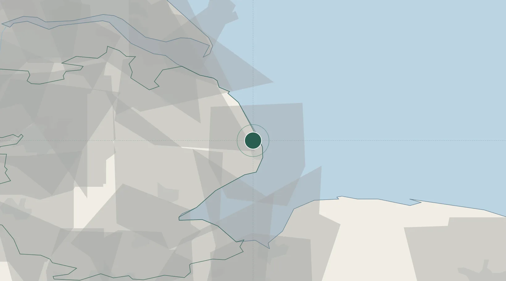
Chapel Saint Leonards
53.2167°, 0.3167°
3,481
Population
1
Transport functions
Transport Functions
Port
Hub Profile
Place type
Populated place
Region
England
Population
3,481
Time zone
Europe/London
Elevation
2 m
Location
Nearby Logistics Neighbours
Cities
- 1Hogsthorpe3 km
- 2Ingoldmells4 km
- 3Orby7 km
- 4Skegness8 km
- 5Wainfleet Bank14 km
Ports
- 1Boston36 km
- 2Grimsby48 km
- 3King's Lynn52 km
- 4Immingham58 km
- 5Wisbech62 km
Airports
- 1RAF Coningsby35 km
- 2RAF Waddington56 km
- 3RAF Cranwell58 km
- 4Humberside Airport60 km
- 5RAF Barkston Heath65 km
Trade Zones
DatabookThe Record of Consolidated Knowledge
United Kingdom beyond logistics?