UN/LOCODE hub · United Kingdom
GBNSR
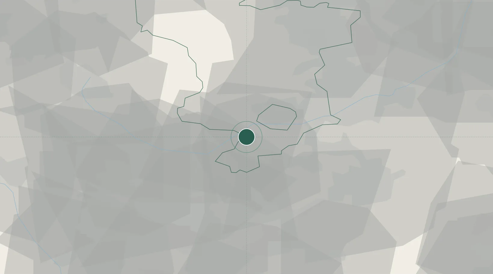
Newton Solney
52.8167°, -1.5833°
659
Population
1
Transport functions
Transport Functions
Multimodal
Hub Profile
Place type
Populated place
Region
England
Population
659
Time zone
Europe/London
Elevation
53 m
Location
Nearby Logistics Neighbours
Cities
- 1Branston7 km
- 2Barrow upon Trent9 km
- 3Hatton9 km
- 4The Forties9 km
- 5Melbourne10 km
Ports
- 1Manchester87 km
- 2Garlston106 km
- 3Boston106 km
- 4Goole110 km
- 5Howdendyke112 km
Airports
- 1East Midlands Airport17 km
- 2Nottingham City Airport36 km
- 3Birmingham Airport42 km
- 4Coventry Airport50 km
- 5RAF Cosford52 km
Trade Zones
DatabookThe Record of Consolidated Knowledge
United Kingdom beyond logistics?