Transport Functions
Port
Hub Profile
Region
DBY
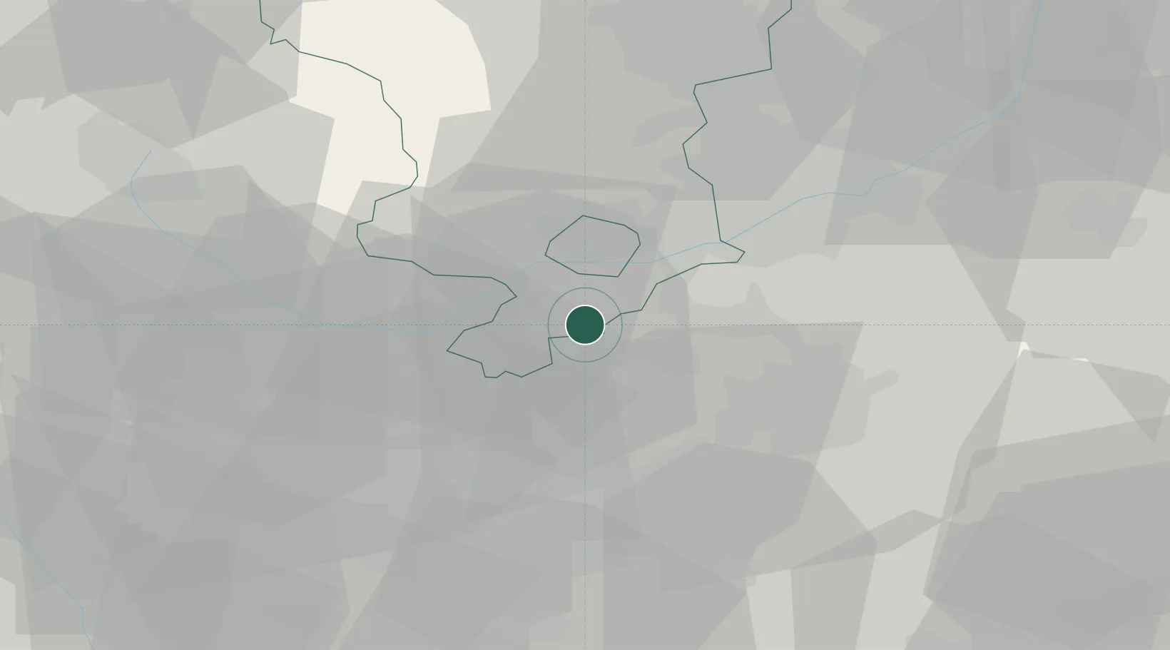
Location
Nearby Logistics Neighbours
Cities
- 1Melbourne7 km
- 2Normanton le Heath8 km
- 3Newton Solney9 km
- 4Barrow upon Trent9 km
- 5Ellistown11 km
Ports
- 1Manchester95 km
- 2Boston101 km
- 3Wisbech111 km
- 4Goole112 km
- 5Howdendyke115 km
Airports
- 1East Midlands Airport13 km
- 2Nottingham City Airport32 km
- 3Birmingham Airport39 km
- 4Coventry Airport44 km
- 5RAF Cosford57 km
Trade Zones
DatabookThe Record of Consolidated Knowledge
United Kingdom beyond logistics?