Transport Functions
Port
Road
Hub Profile
Place type
Populated place
Region
England
Time zone
Europe/London
Elevation
131 m
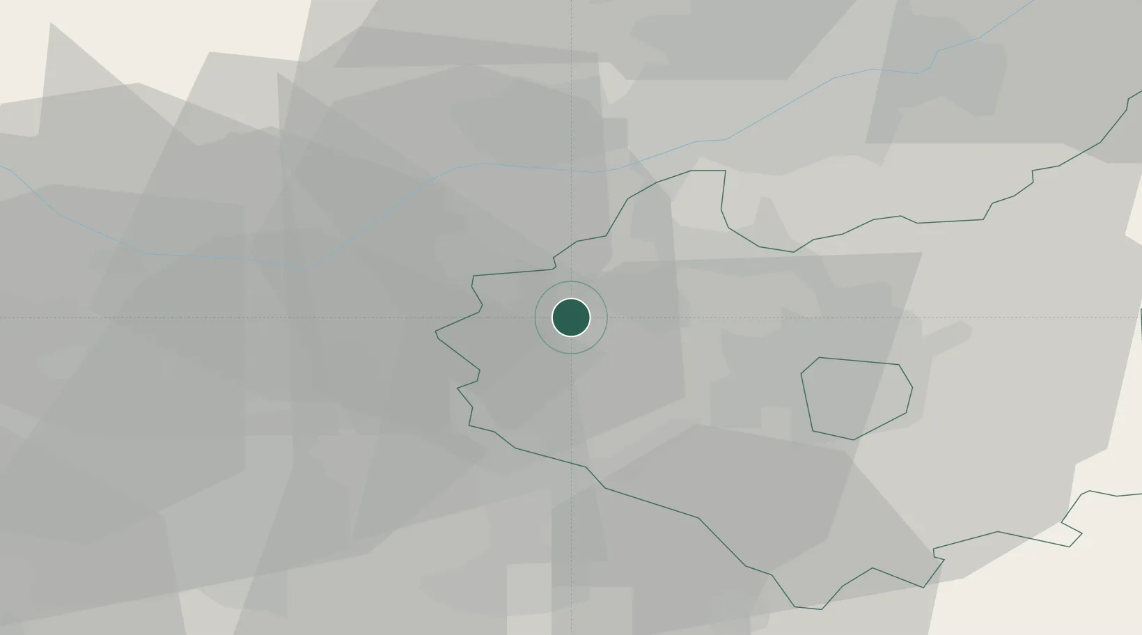
Location
Nearby Logistics Neighbours
Cities
- 1Ellistown5 km
- 2Bardon Hill7 km
- 3The Forties8 km
- 4Bagworth9 km
- 5Markfield11 km
Ports
- 1Boston100 km
- 2Manchester103 km
- 3Wisbech107 km
- 4Goole118 km
- 5Howdendyke121 km
Airports
- 1East Midlands Airport16 km
- 2Nottingham City Airport34 km
- 3Birmingham Airport35 km
- 4Coventry Airport37 km
- 5RAF Cosford59 km
Trade Zones
DatabookThe Record of Consolidated Knowledge
United Kingdom beyond logistics?