Transport Functions
Port
Hub Profile
Place type
Populated place
Region
England
Population
1,157
Time zone
Europe/London
Elevation
186 m
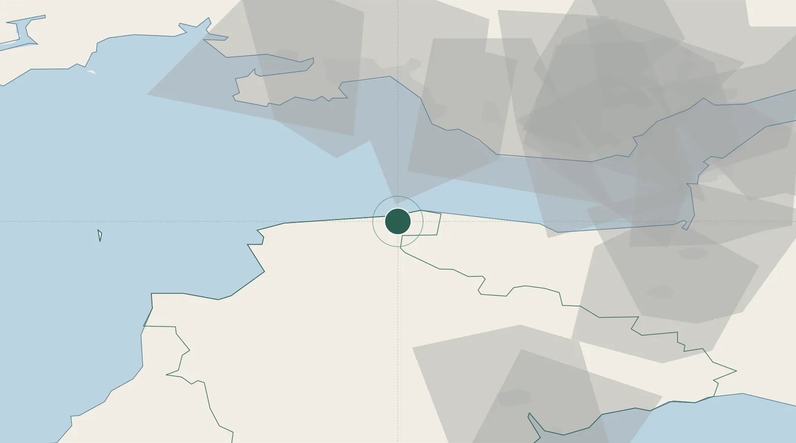
Location
Nearby Logistics Neighbours
Cities
- 1Lynmouth1 km
- 2Combe Martin14 km
- 3Hele17 km
- 4Ilfracombe20 km
- 5Barnstaple22 km
Ports
- 1Bideford33 km
- 2Watchet Harbor35 km
- 3Port Talbot41 km
- 4Barry44 km
- 5Swansea45 km
Airports
- 1Royal Marines Base Chivenor26 km
- 2MOD St Athan35 km
- 3Cardiff International Airport40 km
- 4Swansea Airport46 km
- 5Hartland Point Heliport53 km
Trade Zones
DatabookThe Record of Consolidated Knowledge
United Kingdom beyond logistics?