Transport Functions
Multimodal
Hub Profile
Place type
Populated place
Region
England
Time zone
Europe/London
Elevation
21 m
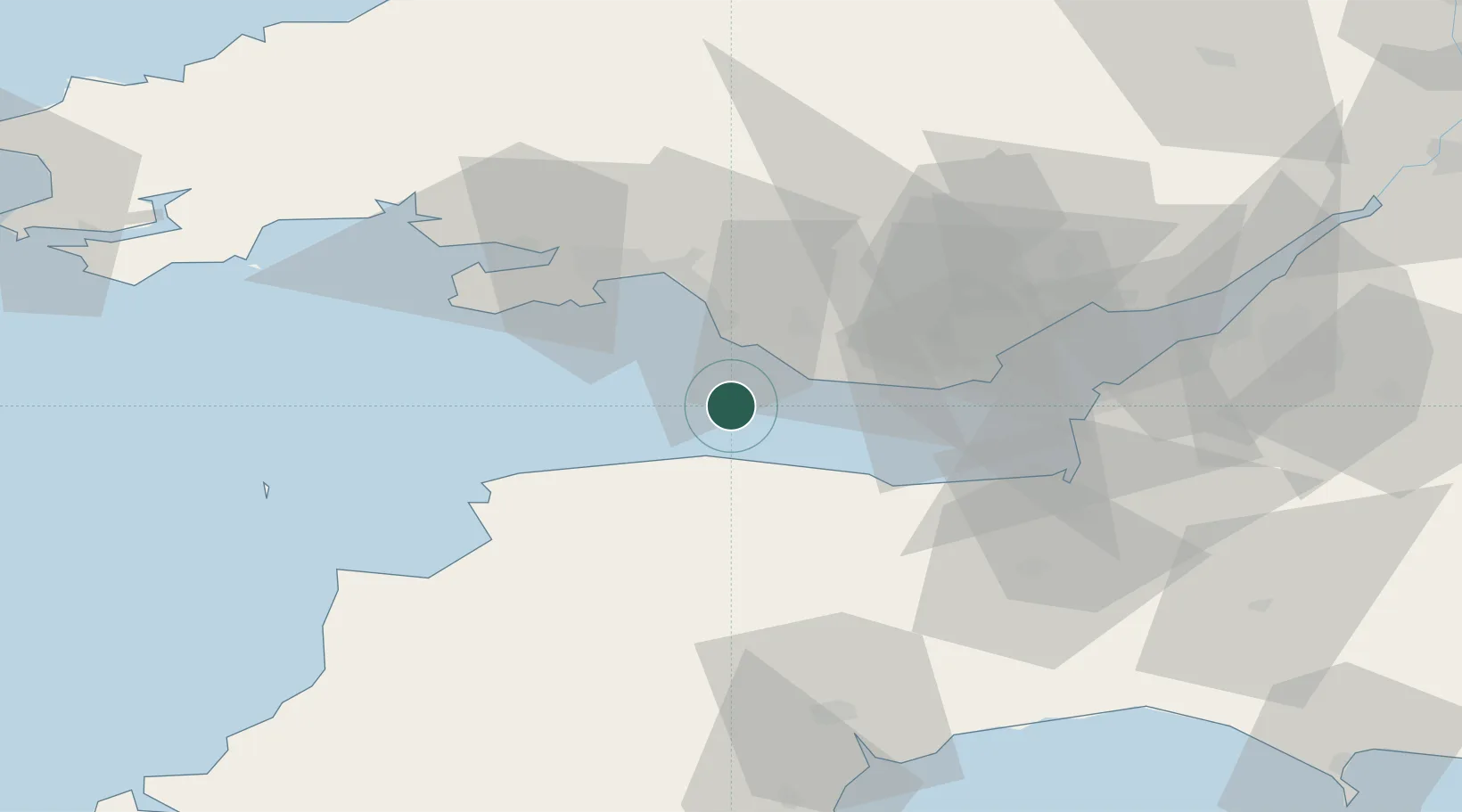
Location
Nearby Logistics Neighbours
Ports
- 1Port Talbot27 km
- 2Barry32 km
- 3Watchet Harbor33 km
- 4Neath33 km
- 5Swansea34 km
Airports
- 1MOD St Athan21 km
- 2Cardiff International Airport26 km
- 3Swansea Airport37 km
- 4Royal Marines Base Chivenor42 km
- 5Hartland Point Heliport67 km
Trade Zones
DatabookThe Record of Consolidated Knowledge
United Kingdom beyond logistics?