UN/LOCODE hub · United Kingdom
GBILF
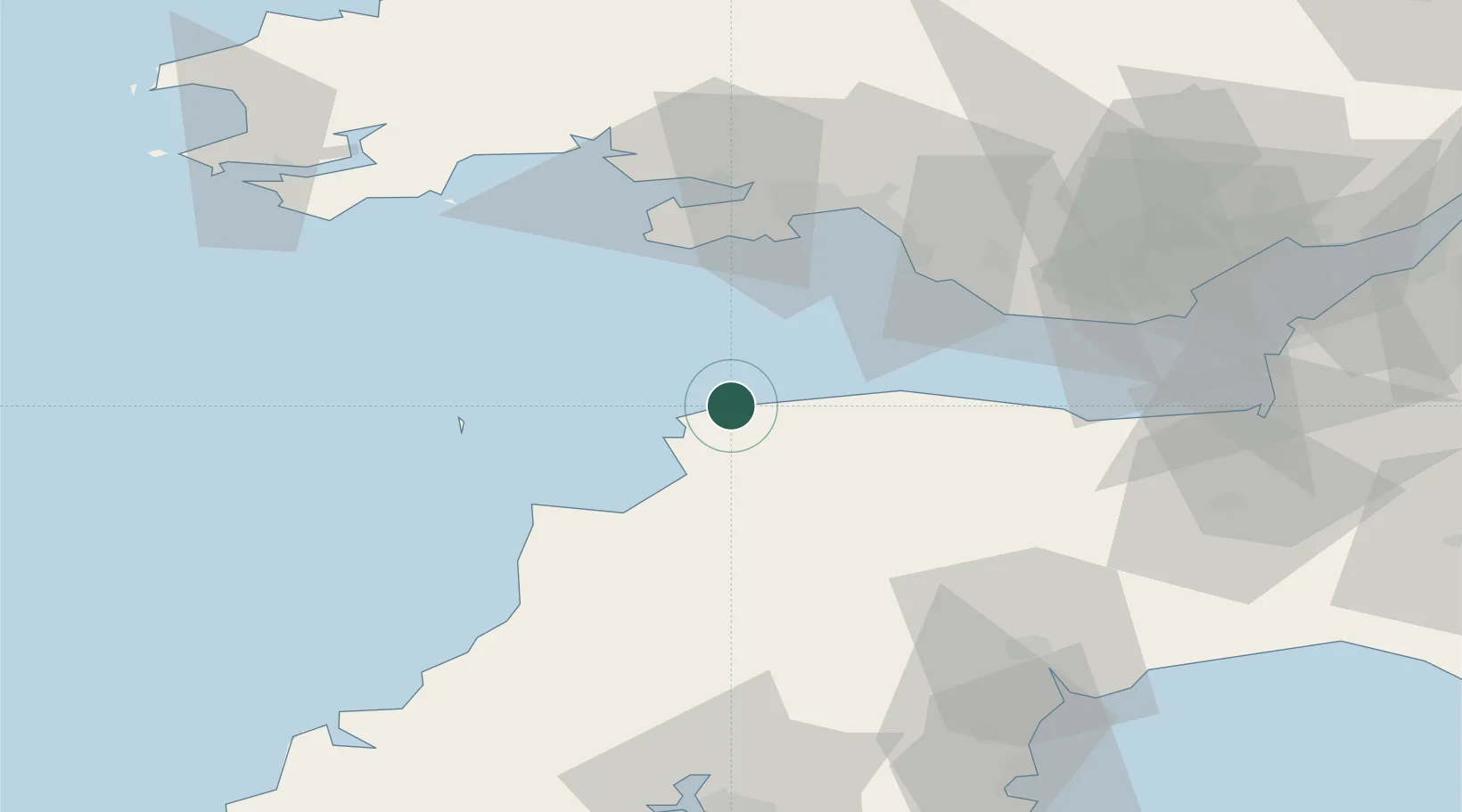
Ilfracombe
51.2167°, -4.1167°
11,184
Population
2
Transport functions
Transport Functions
Port
Road
Hub Profile
Place type
Populated place
Region
England
Population
11,184
Time zone
Europe/London
Elevation
14 m
Location
Nearby Logistics Neighbours
Cities
- 1Combe Martin6 km
- 2Wrafton13 km
- 3Barnstaple15 km
- 4Moretonhampstead18 km
- 5Instow19 km
Ports
- 1Bideford21 km
- 2Port Talbot46 km
- 3Swansea46 km
- 4Neath50 km
- 5Watchet Harbor55 km
Airports
- 1Royal Marines Base Chivenor15 km
- 2Hartland Point Heliport36 km
- 3Lundy Island Helipad39 km
- 4Swansea Airport43 km
- 5MOD St Athan52 km
Trade Zones
DatabookThe Record of Consolidated Knowledge
United Kingdom beyond logistics?