UN/LOCODE hub · United Kingdom
GBCBM
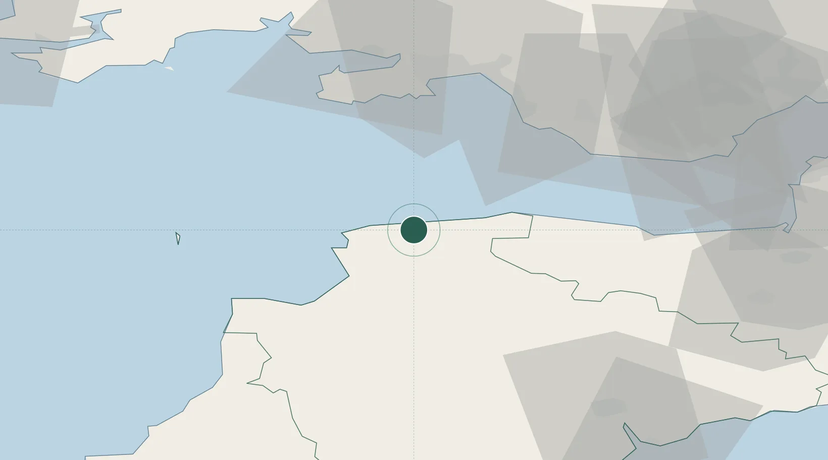
Combe Martin
51.2000°, -4.0333°
2,687
Population
1
Transport functions
Transport Functions
Port
Hub Profile
Place type
Populated place
Region
England
Population
2,687
Time zone
Europe/London
Elevation
30 m
Location
Nearby Logistics Neighbours
Cities
- 1Ilfracombe6 km
- 2Wrafton12 km
- 3Barnstaple13 km
- 4Lynton14 km
- 5Lynmouth15 km
Ports
- 1Bideford22 km
- 2Port Talbot45 km
- 3Swansea47 km
- 4Watchet Harbor49 km
- 5Neath50 km
Airports
- 1Royal Marines Base Chivenor15 km
- 2Hartland Point Heliport39 km
- 3Lundy Island Helipad44 km
- 4Swansea Airport45 km
- 5MOD St Athan48 km
Trade Zones
DatabookThe Record of Consolidated Knowledge
United Kingdom beyond logistics?