UN/LOCODE hub · United Kingdom
GBCGY
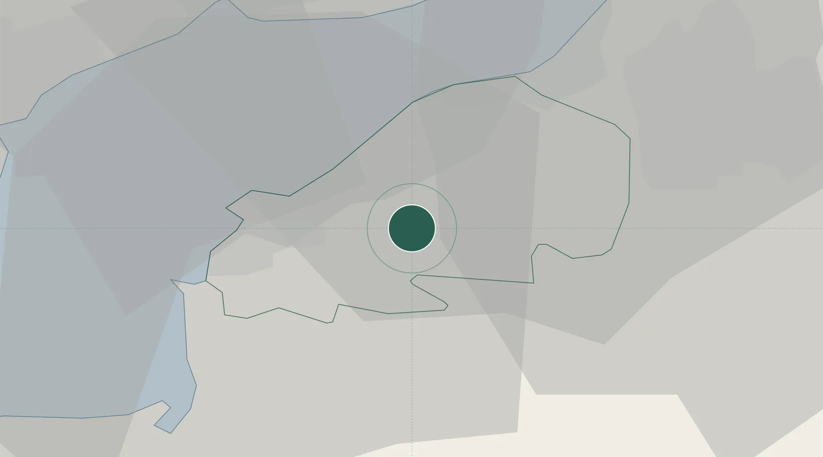
Congresbury
51.3667°, -2.8167°
3,078
Population
3
Transport functions
Transport Functions
Port
Road
Multimodal
Hub Profile
Place type
District seat
Region
England
Population
3,078
Time zone
Europe/London
Elevation
6 m
Location
Nearby Logistics Neighbours
Airports
- 1Bristol Airport7 km
- 2Cardiff International Airport37 km
- 3RNAS Yeovilton42 km
- 4MOD St Athan43 km
- 5Gloucestershire Airport74 km
Trade Zones
DatabookThe Record of Consolidated Knowledge
United Kingdom beyond logistics?