Transport Functions
Rail
Road
Hub Profile
Place type
District seat
Region
England
Population
10,251
Time zone
Europe/London
Elevation
11 m
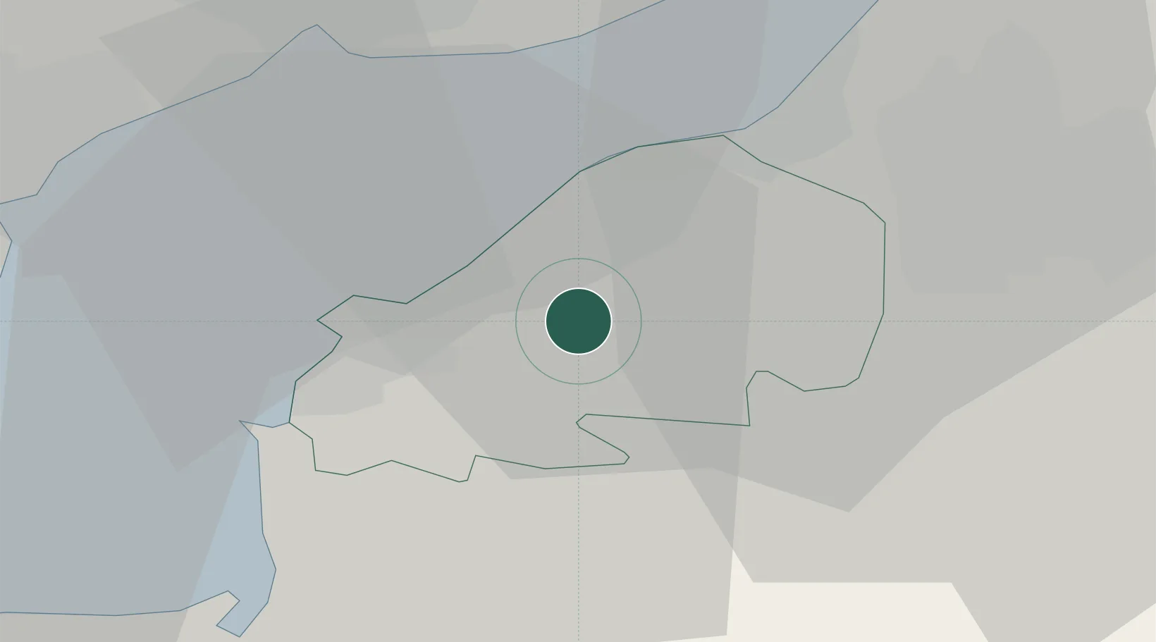
Location
Nearby Logistics Neighbours
Cities
- 1Congresbury2 km
- 2Clevedon6 km
- 3Langford7 km
- 4Bristol9 km
- 5Winscombe9 km
Airports
- 1Bristol Airport7 km
- 2Cardiff International Airport37 km
- 3MOD St Athan43 km
- 4RNAS Yeovilton43 km
- 5Gloucestershire Airport72 km
Trade Zones
DatabookThe Record of Consolidated Knowledge
United Kingdom beyond logistics?