UN/LOCODE hub · United Kingdom
GBPVD

Portavadie

55.8667°, -5.3000°
2
Transport functions

Transport Functions

Port
Road
UN/LOCODE

Hub Profile

Place type
Populated place
GeoNames
Region
Scotland
GeoNames
Time zone
Europe/London
GeoNames
Elevation
10 m
GeoNames

Location

Location of GBPVD
Natural Earth 10m (public domain) · Scotland · GBPVD · 55.87, -5.30GoogleOSMYandex

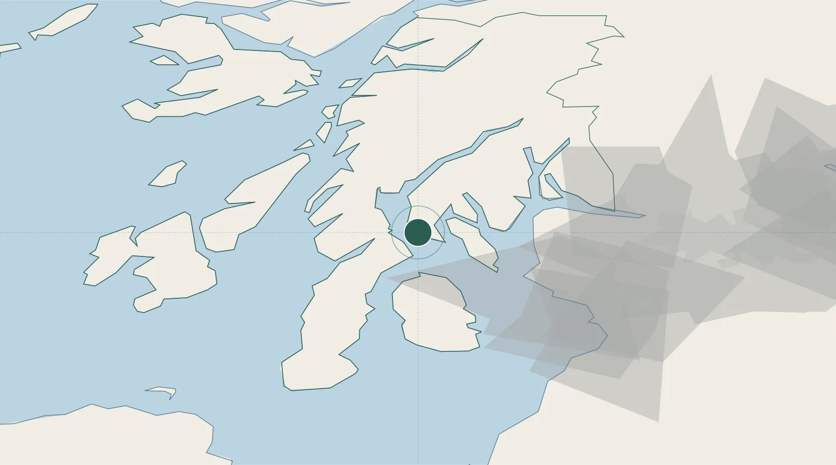
Nearby Logistics Neighbours

Cities
  1. 1Kyles of Bute5 km
  2. 2Tighnabruaich6 km
  3. 3Tarbert, Loch Fyne7 km
  4. 4West Loch Tarbert9 km
  5. 5Rothesay, Isle of Bute10 km
Nearest neighbours — logibook spatial index (haversine) over the source coordinates
Ports
  1. 1Rothesay Harbor16 km
  2. 2Ardrishaig19 km
  3. 3Millport27 km
  4. 4Largs28 km
  5. 5Hunterston29 km
Nearest neighbours — logibook spatial index (haversine) over the source coordinates
Airports
  1. 1Campbeltown Airport54 km
  2. 2Glasgow Airport54 km
  3. 3Glasgow Prestwick Airport61 km
  4. 4Colonsay Airstrip62 km
  5. 5Islay Airport63 km
Nearest neighbours — logibook spatial index (haversine) over the source coordinates
Trade Zones
  1. 1Prestwick Airport Free Zone59 km
  2. 2Carlisle Kingmoor Park Enterprise Zone180 km
  3. 3Isle of Man Free Zone and Business Park202 km
  4. 4Blackpool Enterprise Zone274 km
  5. 5Hillhouse Enterprise Zone276 km
Nearest neighbours — logibook spatial index (haversine) over the source coordinates
DatabookThe Record of Consolidated Knowledge
United Kingdom beyond logistics?
Browse databook

All Sources

LocationsUN/LOCODE
UN/LOCODE — free
Portsthe NGA World Port Index
Public domain (US gov)
AirportsOurAirports
Public domain
Trade Zonesthe World Bank SEZ database
CC BY 4.0
Trade ZonesOpen Zone Map
CC BY
← United Kingdom locations