Transport Functions
Port
Road
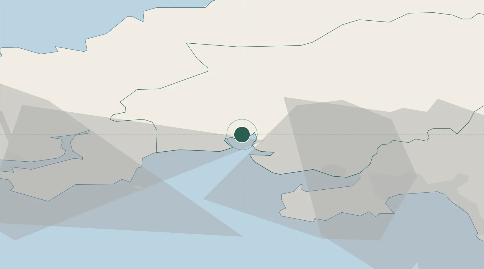
Hub Profile
Place type
Populated place
Region
Wales
Time zone
Europe/London
Elevation
141 m
Location
Nearby Logistics Neighbours
Cities
- 1Llansteffan2 km
- 2Ferryside3 km
- 3Pembrey14 km
- 4Burry Port15 km
- 5Nottage16 km
Ports
- 1Swansea36 km
- 2Neath43 km
- 3Milford Haven44 km
- 4Port Talbot46 km
- 5Fishguard48 km
Airports
- 1Swansea Airport30 km
- 2Haverfordwest Airport39 km
- 3Lundy Island Helipad71 km
- 4MOD St Athan79 km
- 5Royal Marines Base Chivenor79 km
Trade Zones
DatabookThe Record of Consolidated Knowledge
United Kingdom beyond logistics?