UN/LOCODE hub · United Kingdom
GBLFF
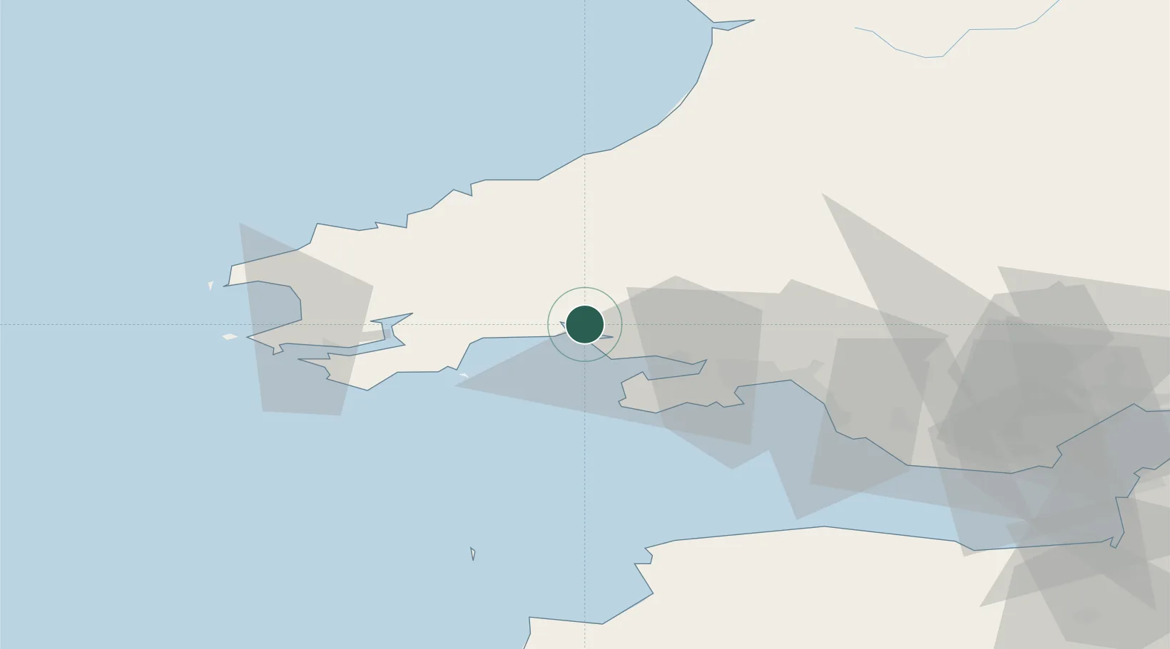
Llansteffan
51.7667°, -4.3833°
424
Population
1
Transport functions
Transport Functions
Port
Hub Profile
Place type
District seat
Region
Wales
Population
424
Time zone
Europe/London
Elevation
32 m
Location
Nearby Logistics Neighbours
Cities
- 1Ferryside1 km
- 2Llanstephan2 km
- 3Pembrey12 km
- 4Burry Port13 km
- 5Nottage15 km
Ports
- 1Swansea34 km
- 2Neath41 km
- 3Port Talbot44 km
- 4Milford Haven45 km
- 5Fishguard50 km
Airports
- 1Swansea Airport28 km
- 2Haverfordwest Airport40 km
- 3Lundy Island Helipad70 km
- 4MOD St Athan77 km
- 5Royal Marines Base Chivenor77 km
Trade Zones
DatabookThe Record of Consolidated Knowledge
United Kingdom beyond logistics?