Transport Functions
Port
Multimodal
Hub Profile
Place type
Populated place
Region
England
Time zone
Europe/London
Elevation
95 m
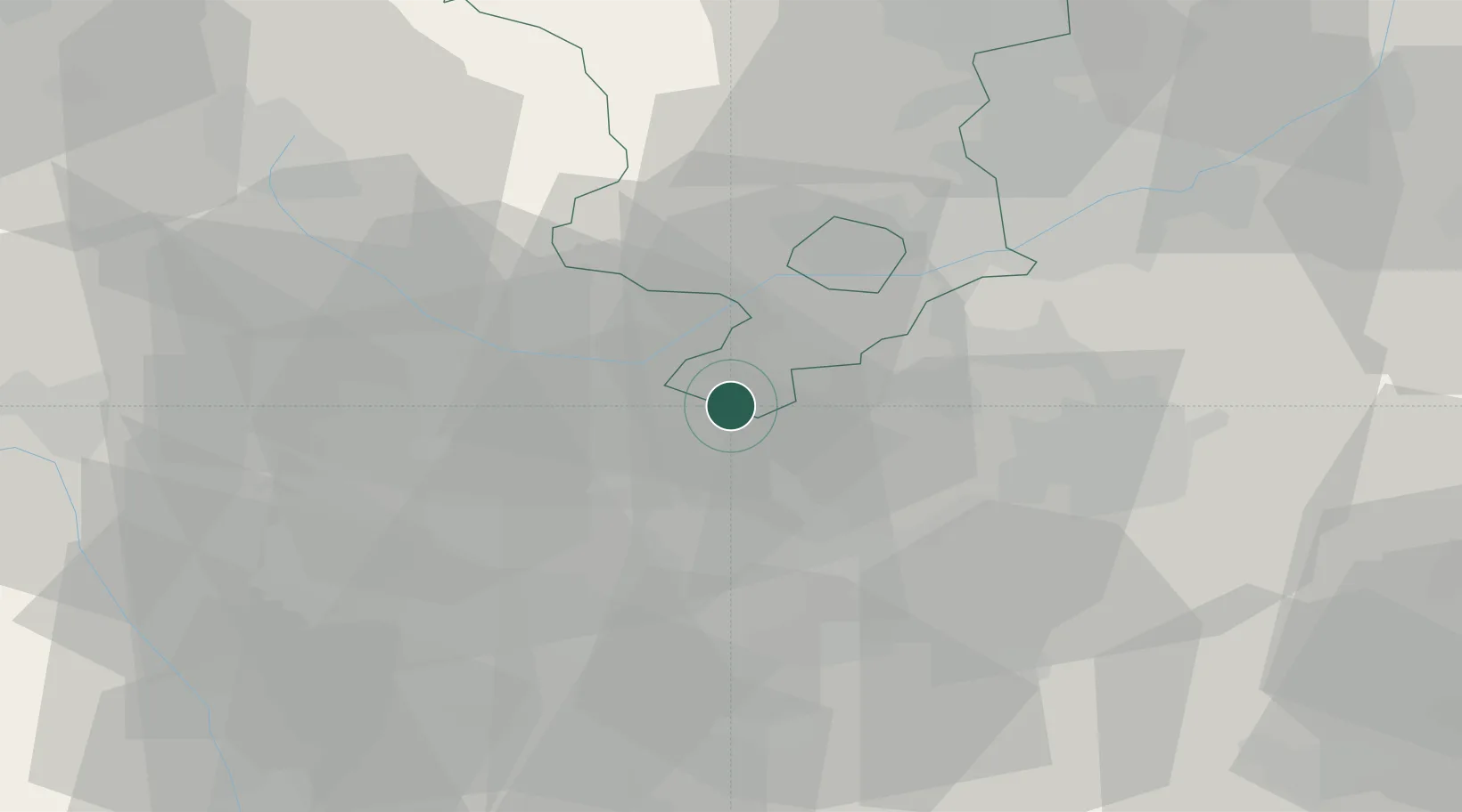
Location
Nearby Logistics Neighbours
Cities
- 1Branston10 km
- 2The Forties12 km
- 3Normanton le Heath12 km
- 4Newton Solney13 km
- 5Kingsbury16 km
Ports
- 1Manchester97 km
- 2Boston112 km
- 3Garlston112 km
- 4Wisbech119 km
- 5Liverpool122 km
Airports
- 1East Midlands Airport24 km
- 2Birmingham Airport29 km
- 3Coventry Airport38 km
- 4Nottingham City Airport44 km
- 5RAF Cosford47 km
Trade Zones
DatabookThe Record of Consolidated Knowledge
United Kingdom beyond logistics?