UN/LOCODE hub · United Kingdom
GBKGY
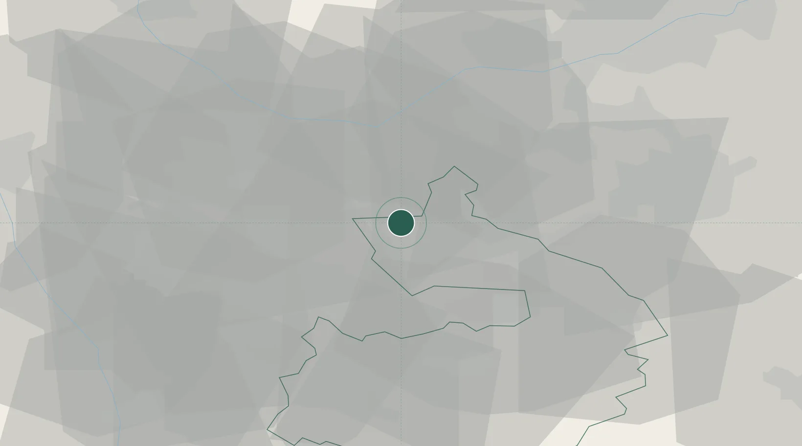
Kingsbury
52.5667°, -1.6833°
3,730
Population
2
Transport functions
Transport Functions
Rail
Road
Hub Profile
Place type
Populated place
Region
England
Population
3,730
Time zone
Europe/London
Elevation
77 m
Location
Nearby Logistics Neighbours
Cities
- 1Erdington10 km
- 2Birmingham11 km
- 3Mancetter11 km
- 4Stechford12 km
- 5Sheldon14 km
Ports
- 1Manchester109 km
- 2Sharpness109 km
- 3Garlston119 km
- 4Boston121 km
- 5Wisbech124 km
Airports
- 1Birmingham Airport13 km
- 2Coventry Airport26 km
- 3East Midlands Airport38 km
- 4RAF Cosford43 km
- 5Nottingham City Airport57 km
Trade Zones
DatabookThe Record of Consolidated Knowledge
United Kingdom beyond logistics?