Medium airport · United Kingdom
RAF CosfordEGWC
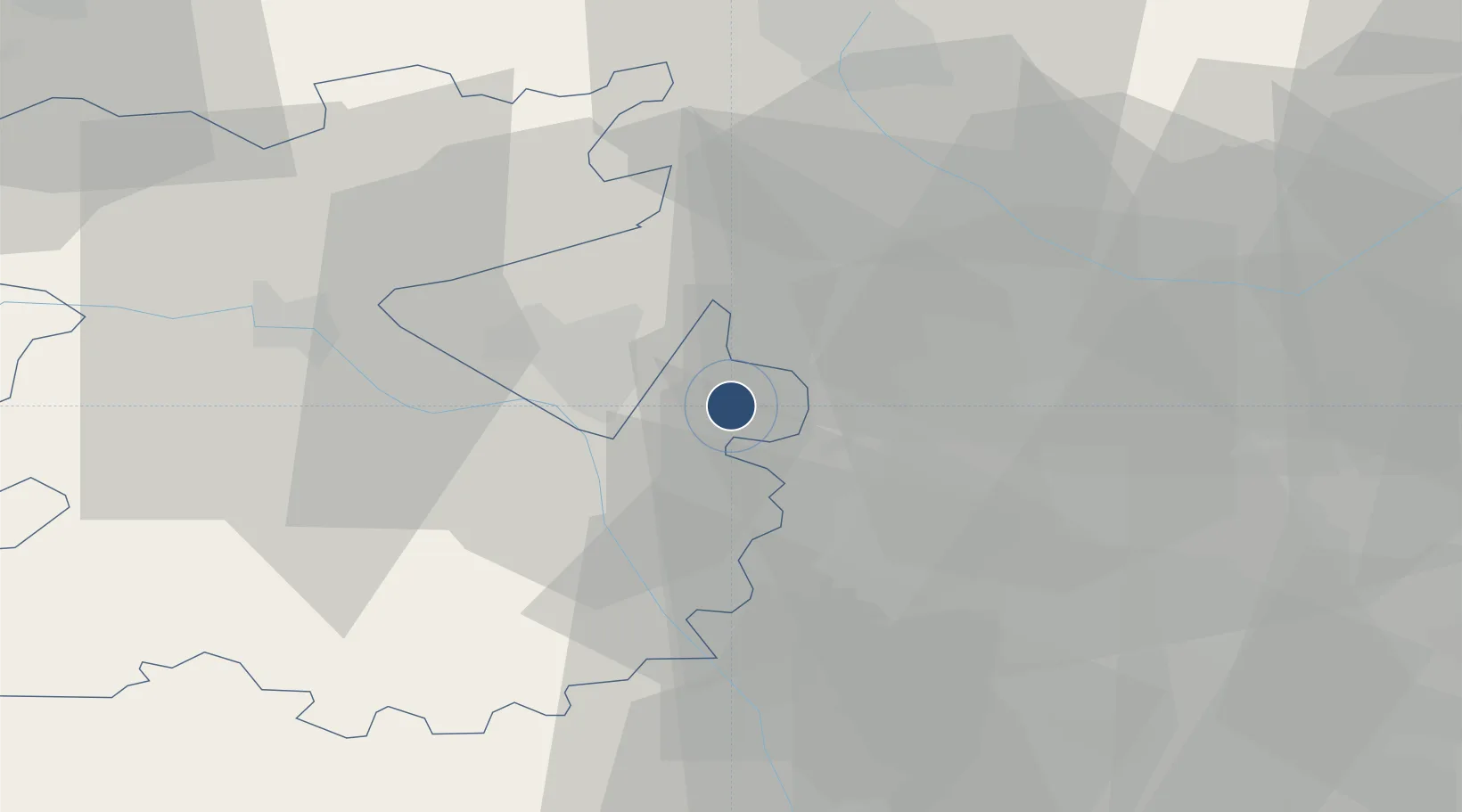
52.6405°, -2.3053°
3,890 ft
Longest runway
1
Runways
272 ft
Elevation
Runway & Layout

Radio Frequencies
TWR
128.65 MHz
TWR
378.65 MHz
GND
128.65 MHz
APP
135.875 MHz
APP
376.42 MHz
GRN
241.4 MHz
RDR
28.2 MHz
SHAWBURY ZONE
Runways · 1
| Runway | Dimensions | Surface | True heading | Lit |
|---|---|---|---|---|
| 06/24 | 3,890 × 150ft | Asphalt | 058° | — |
Airport Specifications
ICAO code
EGWC
Airport class
Medium airport
Scheduled service
No
Runway surface
Asphalt
Served city
Cosford, Shropshire
Location
Nearby Logistics Neighbours
Airports
- 1RAF Shawbury30 km
- 2Birmingham Airport43 km
- 3Coventry Airport64 km
- 4East Midlands Airport69 km
- 5Hawarden Airport75 km
Ports
- 1Garlston88 km
- 2Manchester94 km
- 3Liverpool98 km
- 4Mostyn99 km
- 5Sharpness103 km
Trade Zones
DatabookThe Record of Consolidated Knowledge
United Kingdom beyond logistics?