Transport Functions
Rail
Road
Hub Profile
Place type
Populated place
Region
England
Time zone
Europe/London
Elevation
48 m
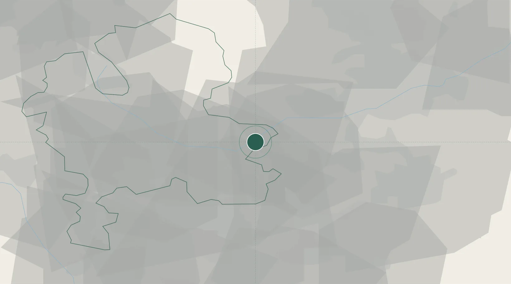
Location
Nearby Logistics Neighbours
Cities
- 1Newton Solney7 km
- 2Hatton9 km
- 3Scropton10 km
- 4Lullington10 km
- 5The Forties13 km
Ports
- 1Manchester88 km
- 2Garlston104 km
- 3Boston113 km
- 4Liverpool114 km
- 5Goole116 km
Airports
- 1East Midlands Airport23 km
- 2Birmingham Airport37 km
- 3Nottingham City Airport42 km
- 4RAF Cosford46 km
- 5Coventry Airport48 km
Trade Zones
DatabookThe Record of Consolidated Knowledge
United Kingdom beyond logistics?