Transport Functions
Rail
Road
Hub Profile
Place type
Populated place
Region
England
Time zone
Europe/London
Elevation
10 m
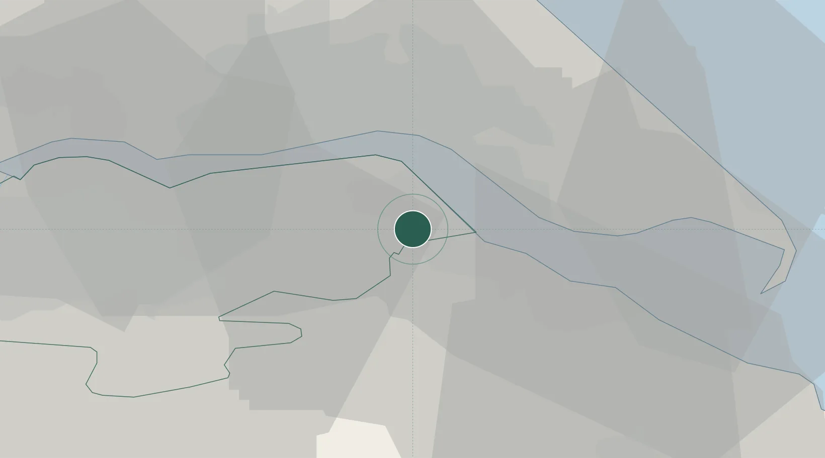
Location
Nearby Logistics Neighbours
Cities
- 1Killingholme2 km
- 2Immingham5 km
- 3Goxhill6 km
- 4Binbrook8 km
- 5South Killingholme8 km
Ports
- 1Immingham4 km
- 2New Holland10 km
- 3Kingston Upon Hull13 km
- 4Grimsby14 km
- 5Goole38 km
Airports
- 1Humberside Airport8 km
- 2RAF Waddington55 km
- 3RAF Coningsby61 km
- 4Leeds East Airport65 km
- 5RAF Cranwell69 km
Trade Zones
DatabookThe Record of Consolidated Knowledge
United Kingdom beyond logistics?