UN/LOCODE hub · United Kingdom
GBBTB
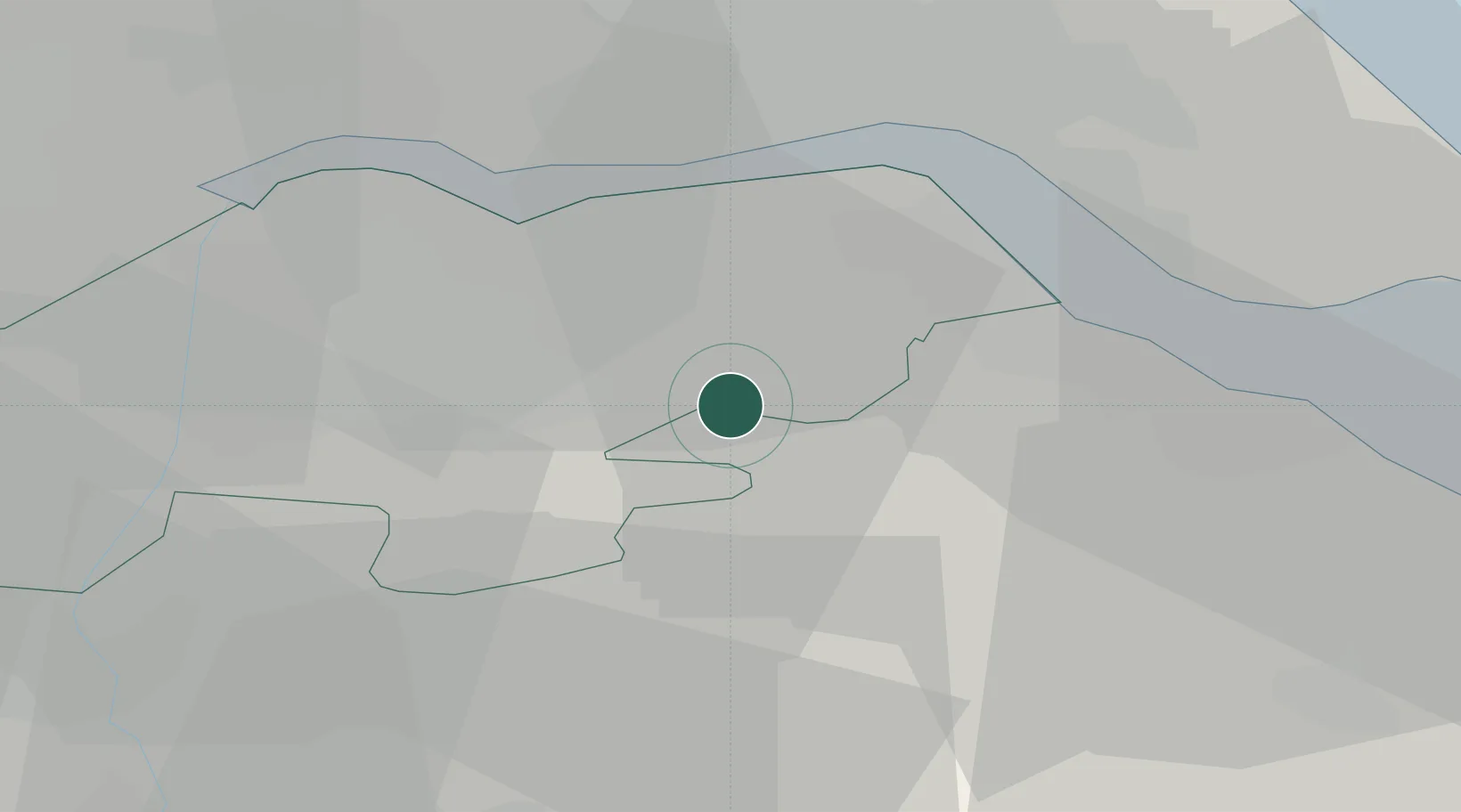
Barnetby-le-Wold
53.5667°, -0.4000°
1,741
Population
2
Transport functions
Transport Functions
Rail
Road
Hub Profile
Place type
Populated place
Region
England
Population
1,741
Time zone
Europe/London
Elevation
20 m
Location
Nearby Logistics Neighbours
Cities
- 1Elsham4 km
- 2Grimsby8 km
- 3Killingholme10 km
- 4South Killingholme11 km
- 5Barton upon Humber11 km
Ports
- 1New Holland15 km
- 2Immingham15 km
- 3Kingston Upon Hull22 km
- 4Grimsby22 km
- 5Goole32 km
Airports
- 1Humberside Airport4 km
- 2RAF Waddington45 km
- 3RAF Coningsby55 km
- 4Leeds East Airport60 km
- 5RAF Cranwell60 km
Trade Zones
DatabookThe Record of Consolidated Knowledge
United Kingdom beyond logistics?