Transport Functions
Port
Multimodal
Hub Profile
Place type
Populated place
Region
England
Time zone
Europe/London
Elevation
57 m
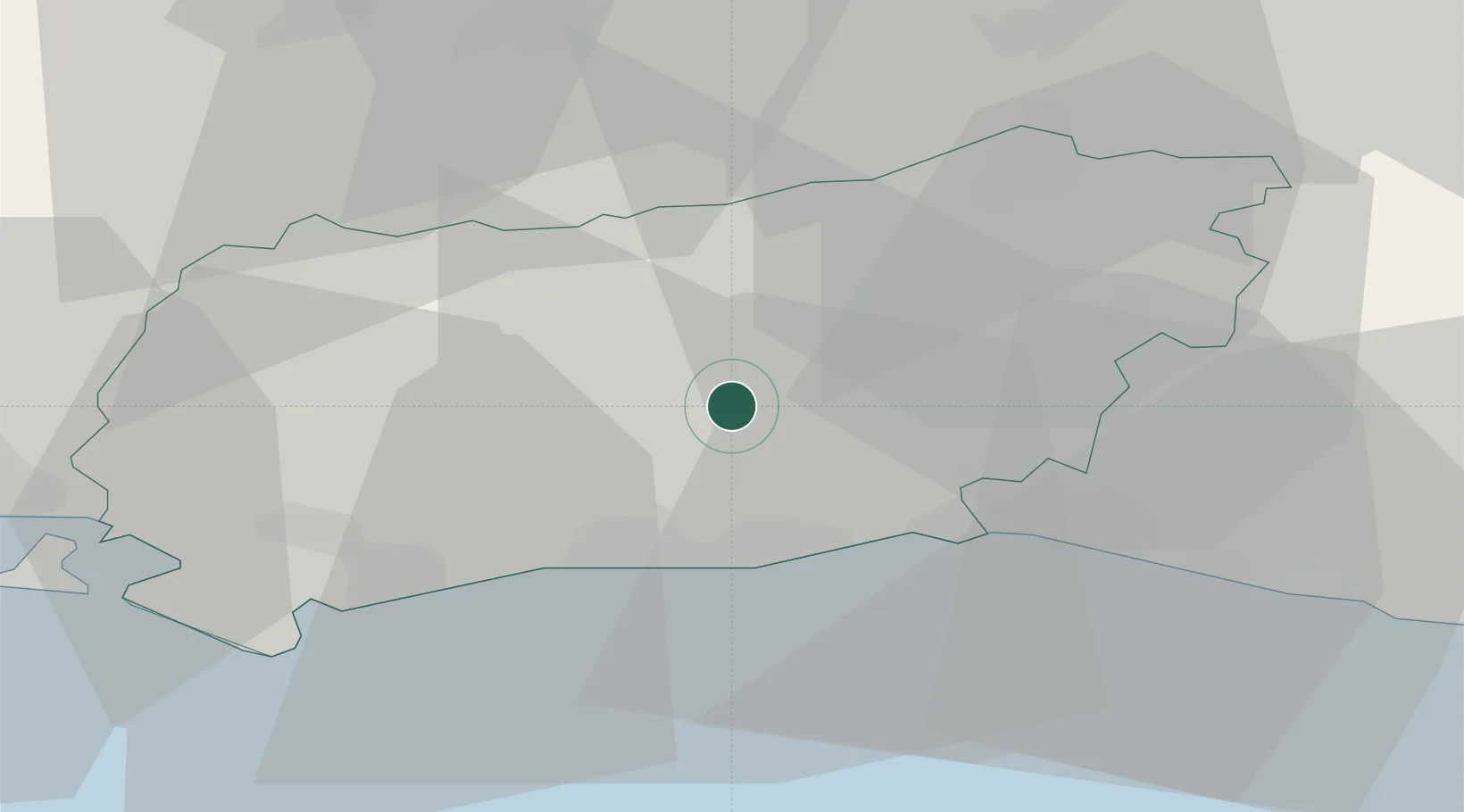
Location
Nearby Logistics Neighbours
Cities
- 1West Chiltington2 km
- 2Adversane7 km
- 3West Grinstead7 km
- 4Bury11 km
- 5Barns Green11 km
Ports
- 1Shoreham Harbour18 km
- 2Littlehampton Harbour19 km
- 3Newhaven Harbour37 km
- 4Portsmouth Harbour50 km
- 5Cowes Harbour65 km
Airports
- 1Brighton City Airport14 km
- 2London Gatwick Airport29 km
- 3Farnborough Airport46 km
- 4RAF Odiham50 km
- 5Lasham Airfield51 km
Trade Zones
DatabookThe Record of Consolidated Knowledge
United Kingdom beyond logistics?