Transport Functions
Port
Hub Profile
Place type
Populated place
Region
England
Time zone
Europe/London
Elevation
12 m
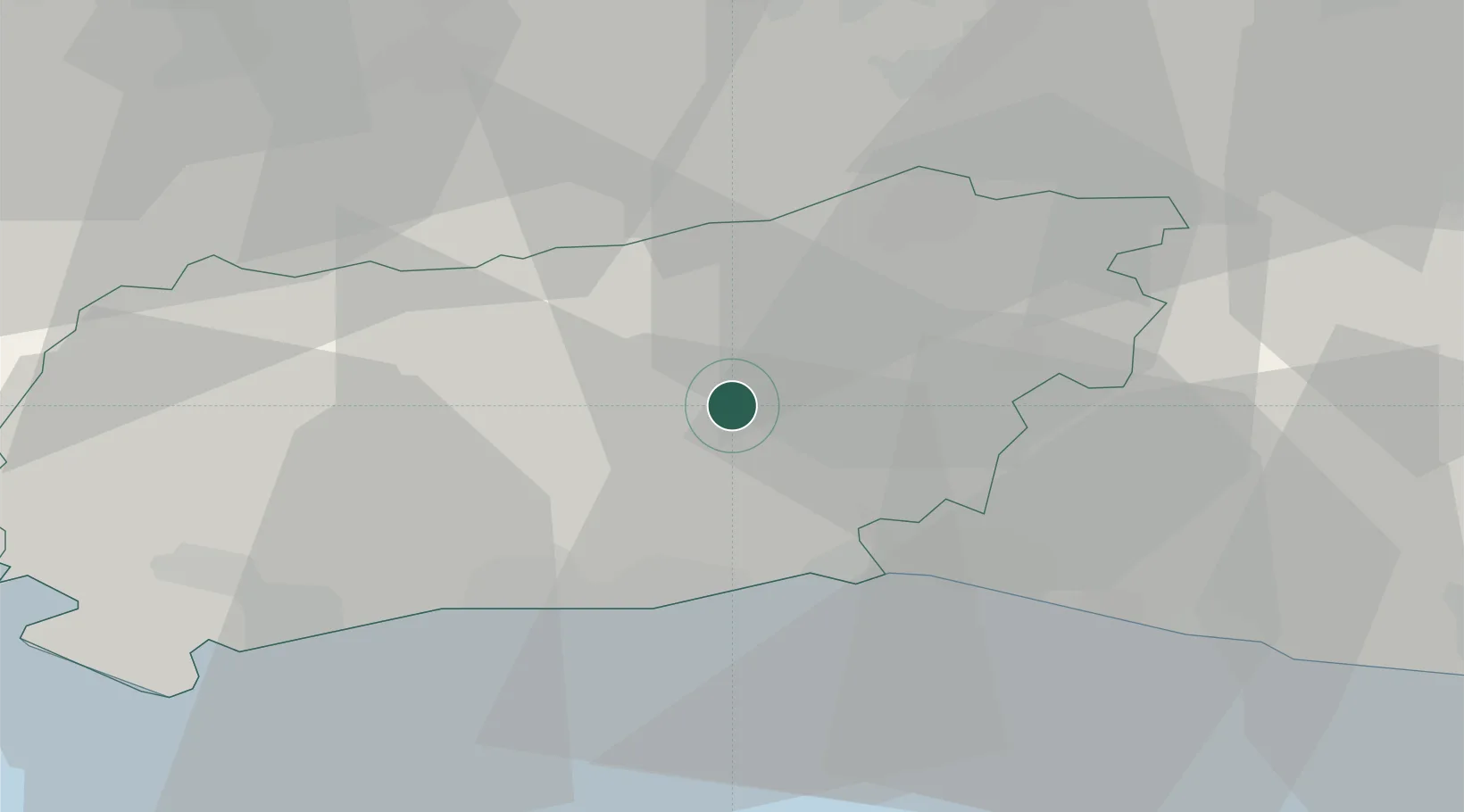
Location
Nearby Logistics Neighbours
Cities
- 1Thakeham7 km
- 2Barns Green9 km
- 3West Chiltington9 km
- 4Adversane10 km
- 5Ansty13 km
Ports
- 1Shoreham Harbour18 km
- 2Littlehampton Harbour25 km
- 3Newhaven Harbour34 km
- 4Portsmouth Harbour57 km
- 5London62 km
Airports
- 1Brighton City Airport15 km
- 2London Gatwick Airport23 km
- 3Farnborough Airport46 km
- 4London Biggin Hill Airport48 km
- 5RAF Odiham52 km
Trade Zones
DatabookThe Record of Consolidated Knowledge
United Kingdom beyond logistics?