UN/LOCODE hub · United Kingdom
GBBGE
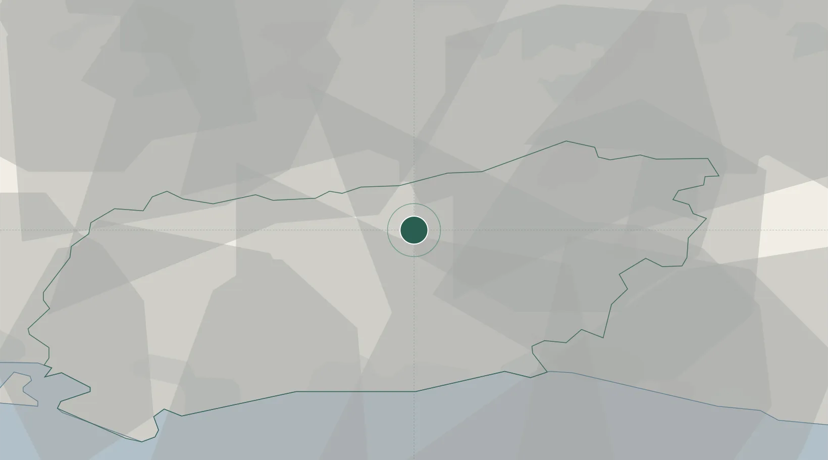
Barns Green
51.0333°, -0.4000°
982
Population
2
Transport functions
Transport Functions
Rail
Road
Hub Profile
Place type
Populated place
Region
England
Population
982
Time zone
Europe/London
Elevation
42 m
Location
Nearby Logistics Neighbours
Cities
- 1Adversane7 km
- 2West Grinstead9 km
- 3Thakeham11 km
- 4West Chiltington12 km
- 5Capel14 km
Ports
- 1Shoreham Harbour26 km
- 2Littlehampton Harbour29 km
- 3Newhaven Harbour42 km
- 4Portsmouth Harbour56 km
- 5London56 km
Airports
- 1London Gatwick Airport20 km
- 2Brighton City Airport23 km
- 3Farnborough Airport38 km
- 4RAF Odiham44 km
- 5London Biggin Hill Airport45 km
Trade Zones
DatabookThe Record of Consolidated Knowledge
United Kingdom beyond logistics?