Channel & Berth Profile
Pilotage, Tugs & Services
Pilotage compulsoryYES
Pilotage availableYES
Pilotage advisableYES
Tug assistanceNO
Salvage tugsNO
Shore powerYES
Potable waterYES
Diesel bunkersYES
MedicalYES
Garbage disposalYES
Facilities & Capabilities
Container—
Ro-Ro—
Liquid bulk—
Dry bulk—
Oil terminal—
Break bulk—
Dry dock—
RepairsNO
BunkeringYES
Rail linkYES
Dangerous cargo—
ISPS security—
Harbour Specifications
Harbour size
Very Small
Harbour type
River (Natural)
Shelter
Good
Water body
English Channel; North Atlantic Ocean
Tidal range
5 m
Overhead limit
Yes
Pilotage
Yes
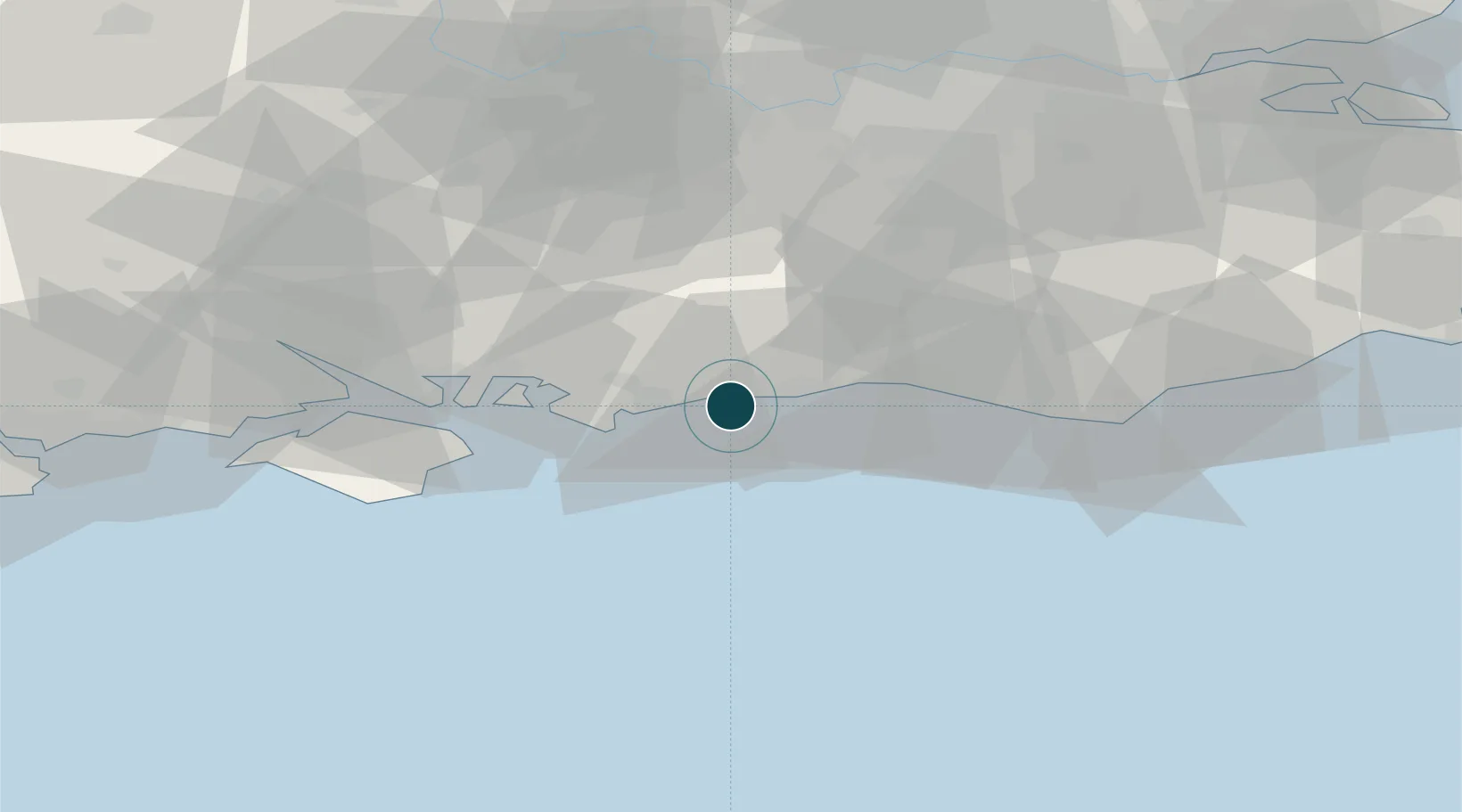
Location
Nearby Logistics Neighbours
Ports
- 1Shoreham Harbour20 km
- 2Portsmouth Harbour40 km
- 3Newhaven Harbour41 km
- 4Cowes Harbour54 km
- 5Fawley Marine Terminal56 km
Cities
- 1Rustington4 km
- 2Yapton5 km
- 3Ferring6 km
- 4Bognor Regis11 km
- 5Worthing11 km
Airports
- 1Brighton City Airport18 km
- 2London Gatwick Airport47 km
- 3Lasham Airfield57 km
- 4Farnborough Airport57 km
- 5RAF Odiham58 km
Trade Zones
DatabookThe Record of Consolidated Knowledge
United Kingdom beyond logistics?