Seaport · United Kingdom
Newhaven HarbourGBNHV
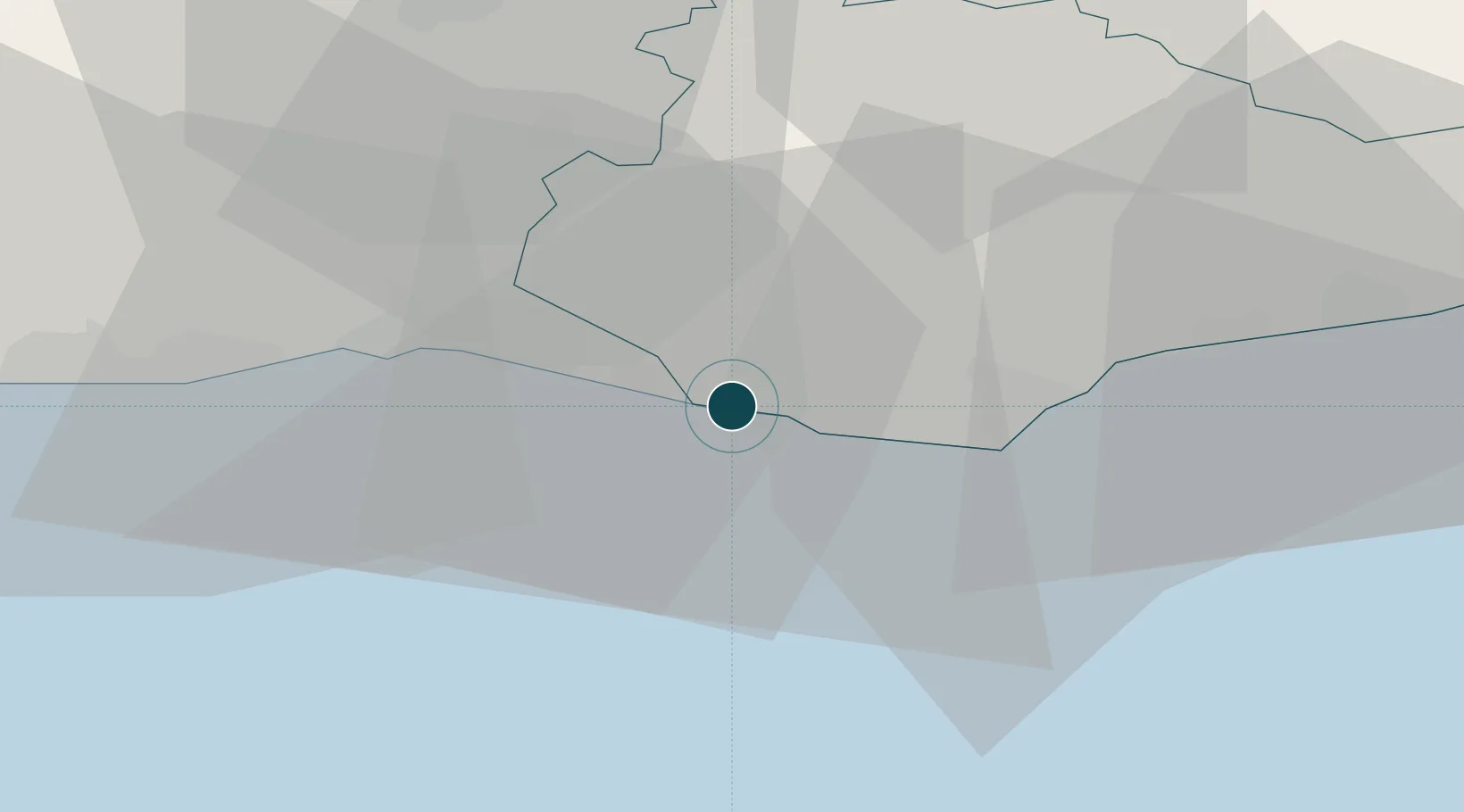
50.7833°, 0.0500°
4.9 m
Channel depth
7.2
Port liner connectivity
Channel & Berth Profile
Pilotage, Tugs & Services
Pilotage compulsoryYES
Tug assistanceYES
Salvage tugsNO
Potable waterYES
Diesel bunkersYES
MedicalYES
Facilities & Capabilities
Container—
Ro-Ro—
Liquid bulk—
Dry bulk—
Oil terminal—
Break bulk—
Dry dock—
RepairsNO
BunkeringYES
Rail linkYES
Dangerous cargo—
ISPS security—
Harbour Specifications
Harbour size
Very Small
Harbour type
River (Natural)
Shelter
Good
Water body
English Channel; North Atlantic Ocean
Tidal range
6 m
Overhead limit
Yes
Pilotage
Yes
Liner Connectivity
7.2
PLSCI
Port Liner Shipping Connectivity Index for Newhaven Harbour, as published by UNCTAD for the latest available quarter. Higher values indicate stronger scheduled liner-shipping integration.
Shown relative to the highest per-port PLSCI in the dataset (1,657.9).
Location
Nearby Logistics Neighbours
Ports
- 1Shoreham Harbour21 km
- 2Littlehampton Harbour41 km
- 3Rye Harbour53 km
- 4Chatham Docks77 km
- 5Gravesend77 km
Cities
- 1Denton2 km
- 2Seaford4 km
- 3Eastbourne17 km
- 4Southwick21 km
- 5Shoreham-by-Sea23 km
Airports
- 1Brighton City Airport25 km
- 2London Gatwick Airport44 km
- 3London Biggin Hill Airport61 km
- 4Lydd London Ashford Airport65 km
- 5Farnborough Airport80 km
Trade Zones
DatabookThe Record of Consolidated Knowledge
United Kingdom beyond logistics?