Transport Functions
Port
Hub Profile
Place type
Populated place
Region
England
Population
400
Time zone
Europe/London
Elevation
17 m
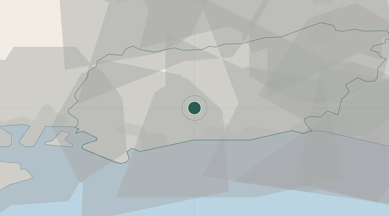
Location
Nearby Logistics Neighbours
Cities
- 1West Chiltington9 km
- 2Rustington10 km
- 3Thakeham11 km
- 4Yapton11 km
- 5Adversane12 km
Ports
- 1Littlehampton Harbour13 km
- 2Shoreham Harbour24 km
- 3Portsmouth Harbour39 km
- 4Newhaven Harbour45 km
- 5Cowes Harbour54 km
Airports
- 1Brighton City Airport20 km
- 2London Gatwick Airport38 km
- 3Farnborough Airport44 km
- 4RAF Odiham46 km
- 5Lasham Airfield46 km
Trade Zones
DatabookThe Record of Consolidated Knowledge
United Kingdom beyond logistics?