Transport Functions
Multimodal
Hub Profile
Place type
Populated place
Region
England
Time zone
Europe/London
Elevation
17 m
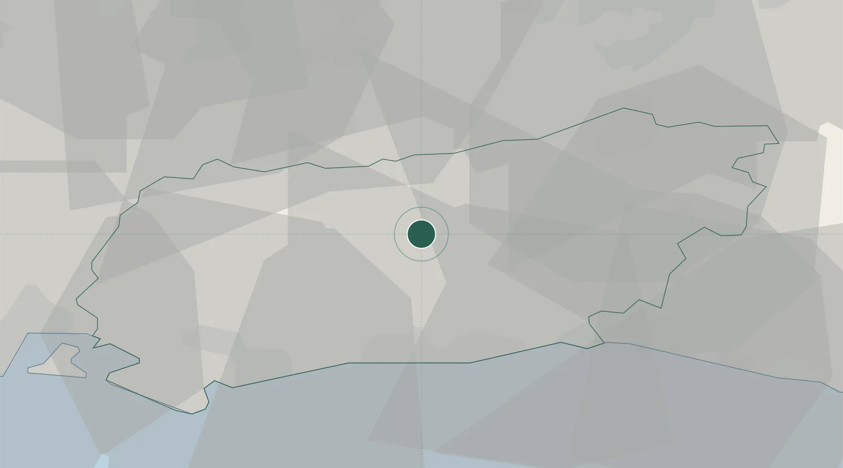
Location
Nearby Logistics Neighbours
Cities
- 1West Chiltington6 km
- 2Thakeham7 km
- 3Barns Green7 km
- 4West Grinstead10 km
- 5Bury12 km
Ports
- 1Littlehampton Harbour23 km
- 2Shoreham Harbour24 km
- 3Newhaven Harbour43 km
- 4Portsmouth Harbour49 km
- 5Cowes Harbour63 km
Airports
- 1Brighton City Airport20 km
- 2London Gatwick Airport27 km
- 3Farnborough Airport39 km
- 4RAF Odiham43 km
- 5Lasham Airfield46 km
Trade Zones
DatabookThe Record of Consolidated Knowledge
United Kingdom beyond logistics?